
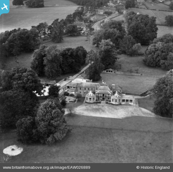
eaw026889 ENGLAND (1949). Wans House, Sandy Lane, 1949. This image has been produced from a print.
© Copyright OpenStreetMap contributors and licensed by the OpenStreetMap Foundation. 2026. Cartography is licensed as CC BY-SA.
Nearby Images (9)
EAW026889

EAW026887

EAW026886

EAW027291

EAW026888

EAW026889A

EAW027290

EAW027289

EAW027288

Details
| Title | [EAW026889] Wans House, Sandy Lane, 1949. This image has been produced from a print. |
| Reference | EAW026889 |
| Date | 2-October-1949 |
| Link | |
| Place name | SANDY LANE |
| Parish | CALNE WITHOUT |
| District | |
| Country | ENGLAND |
| Easting / Northing | 396663, 167592 |
| Longitude / Latitude | -2.0479816137931, 51.40684943182 |
| National Grid Reference | ST967676 |
Pins
Be the first to add a comment to this image!