
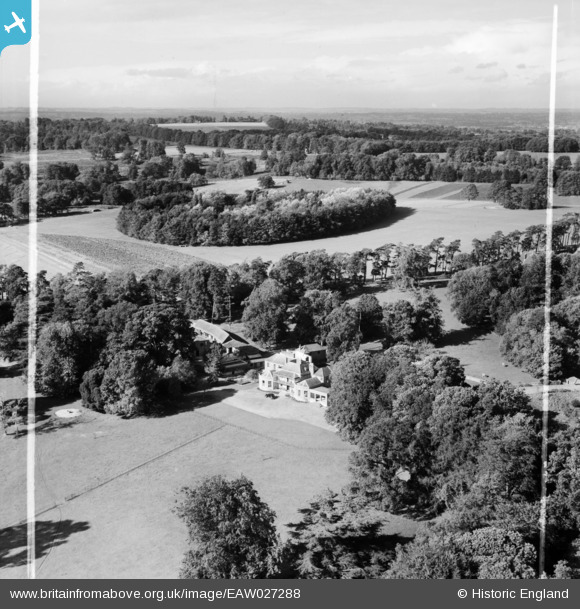
EAW027288 ENGLAND (1949). Wans House and environs, Chittoe, from the east, 1949. This image was marked by Aerofilms Ltd for photo editing.
© Copyright OpenStreetMap contributors and licensed by the OpenStreetMap Foundation. 2026. Cartography is licensed as CC BY-SA.
Nearby Images (9)
EAW027288

EAW026886

EAW027291

EAW026887

EAW027289

EAW026889

EAW026888

EAW026889A

EAW027290

Details
| Title | [EAW027288] Wans House and environs, Chittoe, from the east, 1949. This image was marked by Aerofilms Ltd for photo editing. |
| Reference | EAW027288 |
| Date | 19-October-1949 |
| Link | |
| Place name | CHITTOE |
| Parish | BROMHAM |
| District | |
| Country | ENGLAND |
| Easting / Northing | 396728, 167545 |
| Longitude / Latitude | -2.047046567028, 51.406427156252 |
| National Grid Reference | ST967675 |
Pins
Be the first to add a comment to this image!