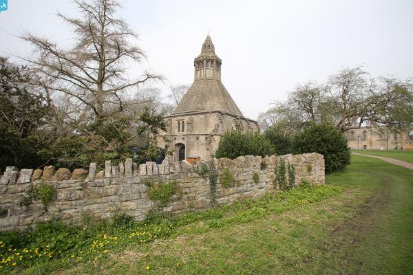
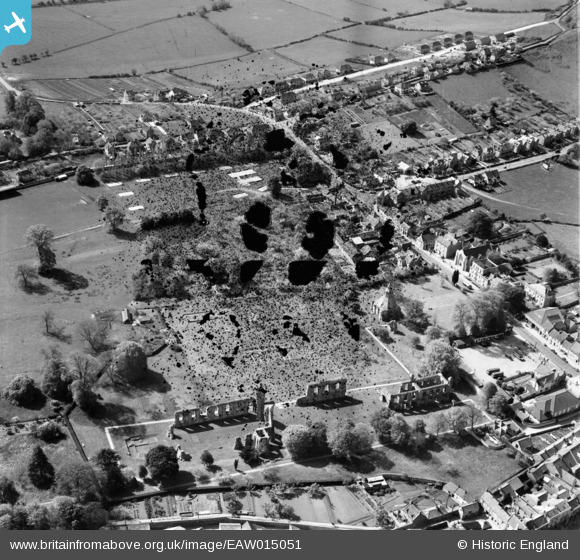
eaw015051 ENGLAND (1948). The abbey ruins and Magdalene Street, Glastonbury, 1948. This image has been produced from a damaged negative.
© Copyright OpenStreetMap contributors and licensed by the OpenStreetMap Foundation. 2025. Cartography is licensed as CC BY-SA.
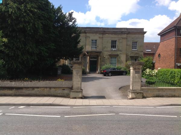
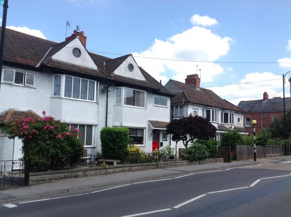
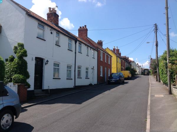
Nearby Images (4)
EAW015051

EAW015052

EAW015049

EAW015050

Details
| Title | [EAW015051] The abbey ruins and Magdalene Street, Glastonbury, 1948. This image has been produced from a damaged negative. |
| Reference | EAW015051 |
| Date | 27-April-1948 |
| Link | |
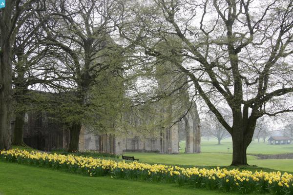
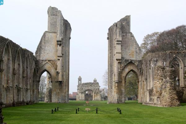
| Place name | GLASTONBURY |
| Parish | GLASTONBURY |
| District | |
| Country | ENGLAND |
| Easting / Northing | 349993, 138690 |
| Longitude / Latitude | -2.7149584270637, 51.144762828471 |
| National Grid Reference | ST500387 |
Pins
 Class31 |
Thursday 24th of July 2014 12:42:27 PM | |
Class31 |
Thursday 24th of July 2014 12:39:03 PM | |
Class31 |
Thursday 24th of July 2014 12:36:00 PM | |
Class31 |
Thursday 24th of July 2014 12:33:23 PM | |
Class31 |
Thursday 24th of July 2014 12:31:06 PM | |
Class31 |
Thursday 24th of July 2014 12:29:41 PM | |
Class31 |
Thursday 24th of July 2014 12:26:35 PM | |
Class31 |
Wednesday 23rd of July 2014 05:07:59 PM | |
 Alan McFaden |
Thursday 10th of April 2014 10:04:14 AM | |
Alan McFaden |
Thursday 10th of April 2014 10:03:43 AM | |
Alan McFaden |
Thursday 10th of April 2014 10:03:04 AM | |
Alan McFaden |
Thursday 10th of April 2014 10:01:52 AM |