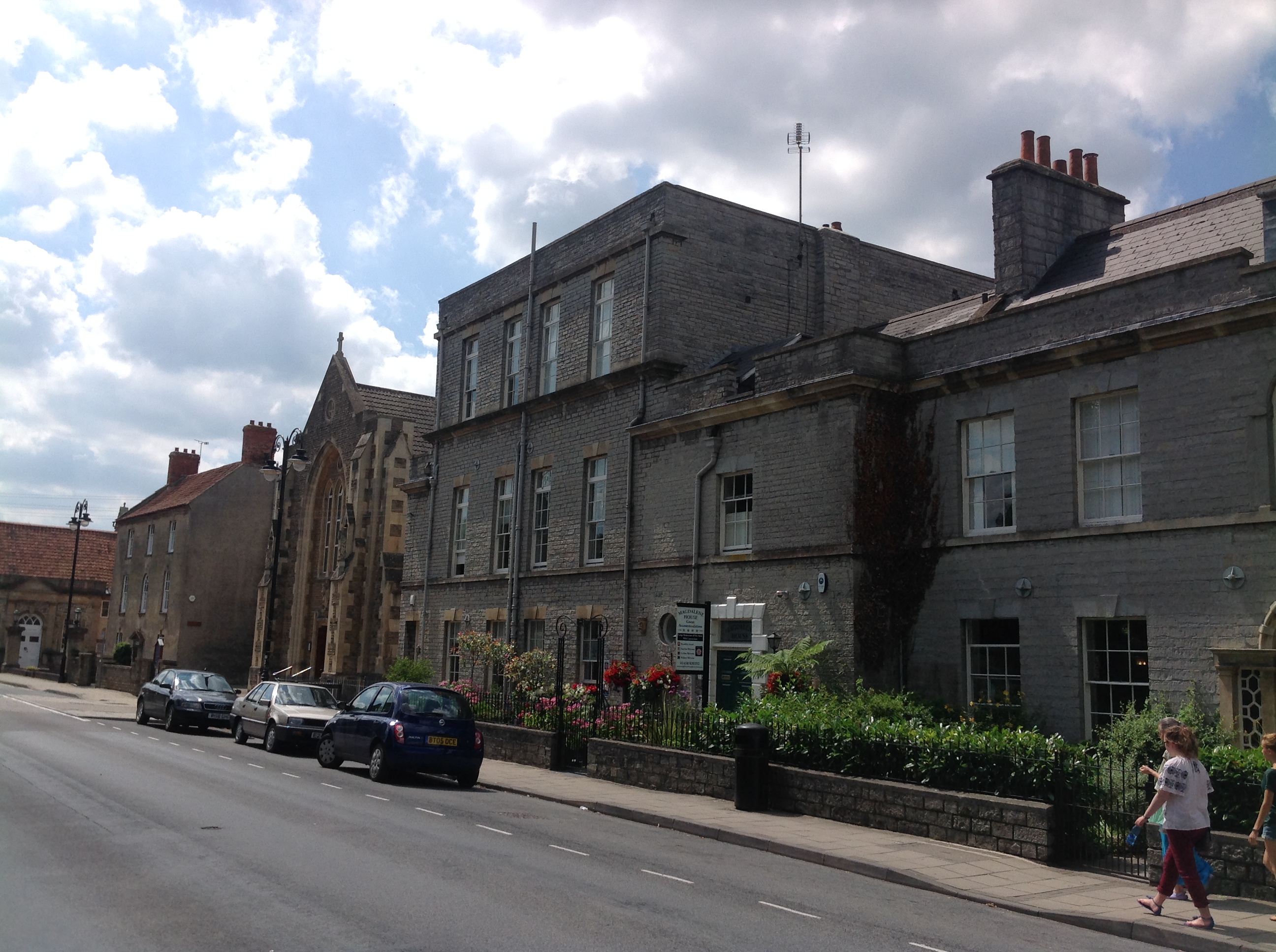
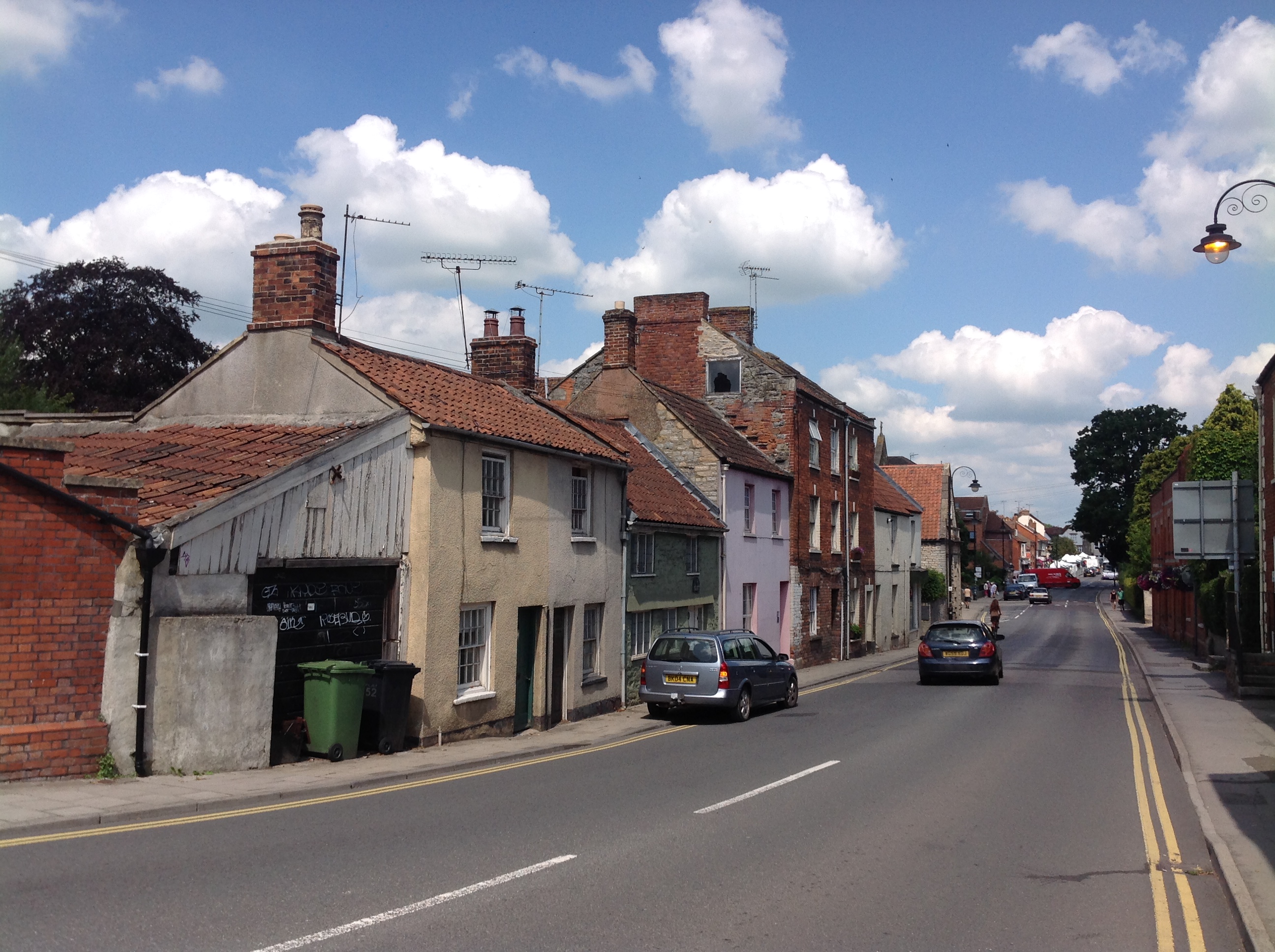
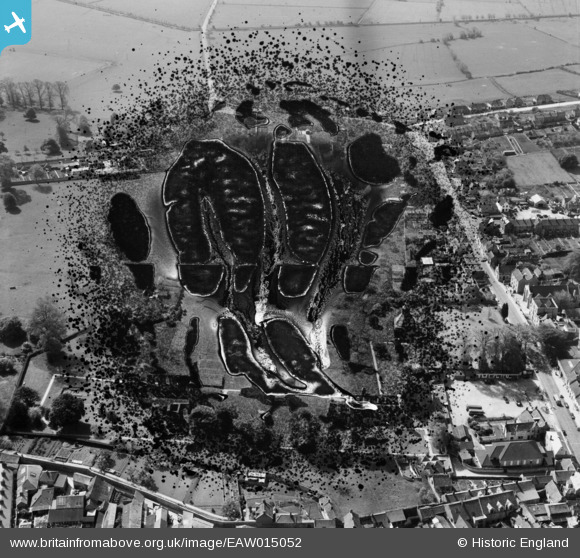
EAW015052 ENGLAND (1948). The abbey ruins and Magdalene Street, Glastonbury, 1948. This image has been produced from a damaged negative.
© Copyright OpenStreetMap contributors and licensed by the OpenStreetMap Foundation. 2026. Cartography is licensed as CC BY-SA.
Nearby Images (4)
EAW015052

EAW015051

EAW015050

EAW015049

Details
| Title | [EAW015052] The abbey ruins and Magdalene Street, Glastonbury, 1948. This image has been produced from a damaged negative. |
| Reference | EAW015052 |
| Date | 27-April-1948 |
| Link | |
| Place name | GLASTONBURY |
| Parish | GLASTONBURY |
| District | |
| Country | ENGLAND |
| Easting / Northing | 350090, 138750 |
| Longitude / Latitude | -2.7135800367617, 51.145310838018 |
| National Grid Reference | ST501388 |
Pins

Class31 |
Thursday 24th of July 2014 02:42:10 PM | |
|
Class31 |
Thursday 24th of July 2014 02:41:08 PM | |
|
Class31 |
Thursday 24th of July 2014 02:40:08 PM | |
|
Class31 |
Thursday 24th of July 2014 02:38:53 PM | |

Alan McFaden |
Thursday 10th of April 2014 10:11:27 AM | |
|
Alan McFaden |
Thursday 10th of April 2014 10:10:57 AM | |
|
Alan McFaden |
Thursday 10th of April 2014 10:10:17 AM |