
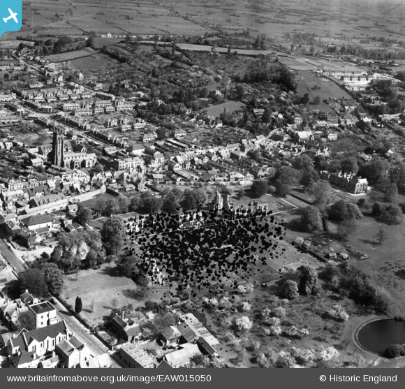
EAW015050 ENGLAND (1948). The abbey ruins and environs, Glastonbury, 1948. This image has been produced from a damaged negative.
© Copyright OpenStreetMap contributors and licensed by the OpenStreetMap Foundation. 2026. Cartography is licensed as CC BY-SA.
Nearby Images (4)
EAW015050

EAW015052

EAW015049

EAW015051

Details
| Title | [EAW015050] The abbey ruins and environs, Glastonbury, 1948. This image has been produced from a damaged negative. |
| Reference | EAW015050 |
| Date | 27-April-1948 |
| Link | |
| Place name | GLASTONBURY |
| Parish | GLASTONBURY |
| District | |
| Country | ENGLAND |
| Easting / Northing | 350095, 138914 |
| Longitude / Latitude | -2.7135312950828, 51.146786020078 |
| National Grid Reference | ST501389 |
Pins

Class31 |
Thursday 24th of July 2014 02:49:25 PM | |
|
Class31 |
Thursday 24th of July 2014 02:47:22 PM | |
|
Class31 |
Thursday 24th of July 2014 12:50:16 PM | |
|
Class31 |
Thursday 24th of July 2014 12:48:58 PM | |
|
Class31 |
Thursday 24th of July 2014 12:43:59 PM | |
|
Class31 |
Wednesday 23rd of July 2014 05:04:30 PM | |

Alan McFaden |
Thursday 10th of April 2014 10:08:56 AM | |
|
Alan McFaden |
Thursday 10th of April 2014 10:08:21 AM | |
|
Alan McFaden |
Thursday 10th of April 2014 10:07:40 AM | |
|
Alan McFaden |
Thursday 10th of April 2014 10:07:04 AM | |
|
Alan McFaden |
Thursday 10th of April 2014 10:06:38 AM | |
|
Alan McFaden |
Thursday 10th of April 2014 10:06:16 AM | |
|
Alan McFaden |
Thursday 10th of April 2014 10:05:50 AM |


User Comment Contributions
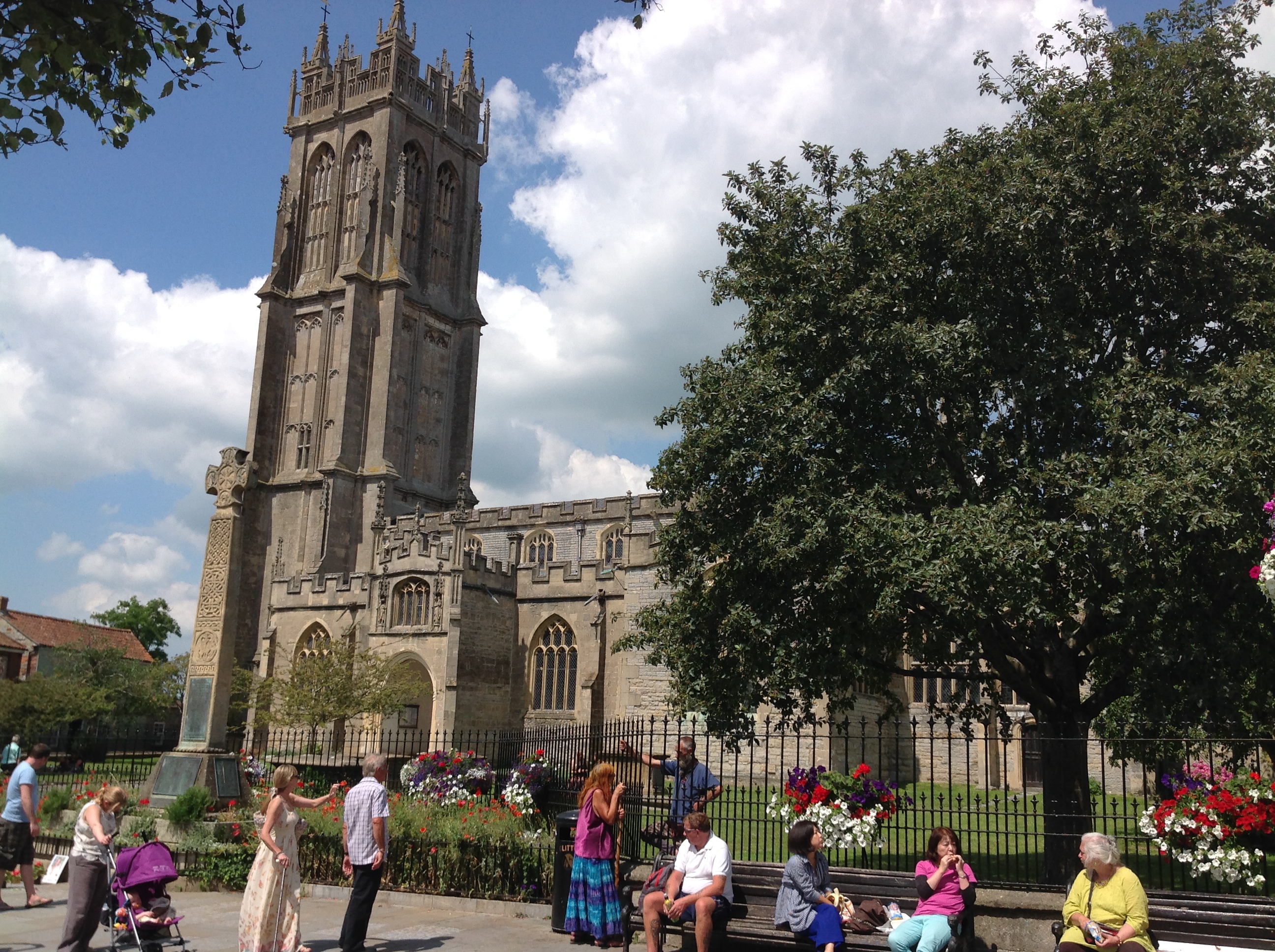
St. John's Church, Glastonbury, 22/07/2014 |
Class31 |
Thursday 24th of July 2014 02:50:34 PM |