
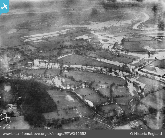
EPW049552 ENGLAND (1936). River Thames in flood around Eastly End and St Ann's Hill, Chertsey, from the south, 1936
© Copyright OpenStreetMap contributors and licensed by the OpenStreetMap Foundation. 2025. Cartography is licensed as CC BY-SA.
Nearby Images (4)
EPW049552

EPW046535

EPW043778

EPW046534

Details
| Title | [EPW049552] River Thames in flood around Eastly End and St Ann's Hill, Chertsey, from the south, 1936 |
| Reference | EPW049552 |
| Date | January-1936 |
| Link | |
| Place name | CHERTSEY |
| Parish | |
| District | |
| Country | ENGLAND |
| Easting / Northing | 503151, 167642 |
| Longitude / Latitude | -0.51707815628936, 51.397926825281 |
| National Grid Reference | TQ032676 |
Pins
Be the first to add a comment to this image!