
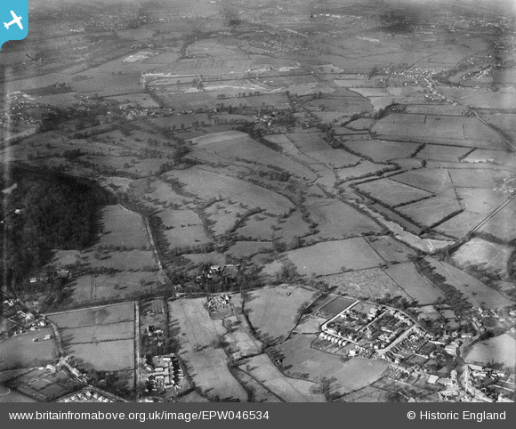
EPW046534 ENGLAND (1935). The site of St Ann's Lake and Manor Lake, Thorpe, 1935
© Copyright OpenStreetMap contributors and licensed by the OpenStreetMap Foundation. 2025. Cartography is licensed as CC BY-SA.
Nearby Images (3)
EPW046534

EPW046535

EPW049552

Details
| Title | [EPW046534] The site of St Ann's Lake and Manor Lake, Thorpe, 1935 |
| Reference | EPW046534 |
| Date | February-1935 |
| Link | |
| Place name | THORPE |
| Parish | |
| District | |
| Country | ENGLAND |
| Easting / Northing | 503342, 167870 |
| Longitude / Latitude | -0.51426687258023, 51.399941692854 |
| National Grid Reference | TQ033679 |
Pins
Be the first to add a comment to this image!