
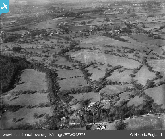
EPW043778 ENGLAND (1934). Twynersh, Thorpe Road and the site of Thorpe Park, Thorpe, from the south-east, 1934
© Copyright OpenStreetMap contributors and licensed by the OpenStreetMap Foundation. 2025. Cartography is licensed as CC BY-SA.
Nearby Images (2)
EPW043778

EPW049552

Details
| Title | [EPW043778] Twynersh, Thorpe Road and the site of Thorpe Park, Thorpe, from the south-east, 1934 |
| Reference | EPW043778 |
| Date | February-1934 |
| Link | |
| Place name | THORPE |
| Parish | |
| District | |
| Country | ENGLAND |
| Easting / Northing | 503329, 167483 |
| Longitude / Latitude | -0.51456641767571, 51.396465071584 |
| National Grid Reference | TQ033675 |
Pins
Be the first to add a comment to this image!