
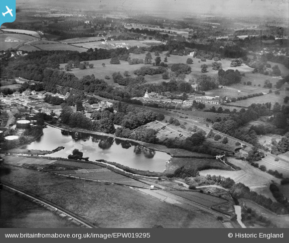
EPW019295 ENGLAND (1927). Lake at Wharf Lane and Rickmansworth Park, Rickmansworth, 1927
© Copyright OpenStreetMap contributors and licensed by the OpenStreetMap Foundation. 2026. Cartography is licensed as CC BY-SA.
Nearby Images (5)
EPW019295

EPW019278

EPW019279

EPW019294

EPW037387

Details
| Title | [EPW019295] Lake at Wharf Lane and Rickmansworth Park, Rickmansworth, 1927 |
| Reference | EPW019295 |
| Date | September-1927 |
| Link | |
| Place name | RICKMANSWORTH |
| Parish | |
| District | |
| Country | ENGLAND |
| Easting / Northing | 506375, 194715 |
| Longitude / Latitude | -0.46257251265211, 51.6406974097 |
| National Grid Reference | TQ064947 |
Pins

Tim |
Monday 25th of November 2013 03:23:52 PM | |
|
LesMead |
Tuesday 7th of May 2013 11:33:12 AM | |
|
LesMead |
Tuesday 7th of May 2013 11:31:46 AM | |
|
LesMead |
Tuesday 7th of May 2013 11:30:28 AM | |
|
Mike |
Friday 27th of July 2012 02:16:42 PM | |
|
Mike |
Friday 27th of July 2012 02:15:05 PM | |
|
Mike |
Friday 27th of July 2012 02:14:47 PM | |
|
Martin Taylor |
Friday 29th of June 2012 09:59:59 PM |