
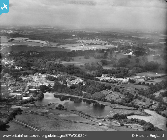
EPW019294 ENGLAND (1927). Rickmansworth Park, Rickmansworth, from the south-east, 1927
© Copyright OpenStreetMap contributors and licensed by the OpenStreetMap Foundation. 2026. Cartography is licensed as CC BY-SA.
Nearby Images (5)
EPW019294

EPW037387

EPW019295

EPW019278

EPW019279

Details
| Title | [EPW019294] Rickmansworth Park, Rickmansworth, from the south-east, 1927 |
| Reference | EPW019294 |
| Date | September-1927 |
| Link | |
| Place name | RICKMANSWORTH |
| Parish | |
| District | |
| Country | ENGLAND |
| Easting / Northing | 506467, 194592 |
| Longitude / Latitude | -0.46128079195555, 51.63957434473 |
| National Grid Reference | TQ065946 |
Pins

The Laird |
Friday 6th of October 2017 02:13:58 PM | |
|
The Laird |
Friday 6th of October 2017 01:54:23 PM | |
|
The Laird |
Friday 6th of October 2017 01:51:34 PM | |
|
The Laird |
Friday 6th of October 2017 01:47:04 PM |