
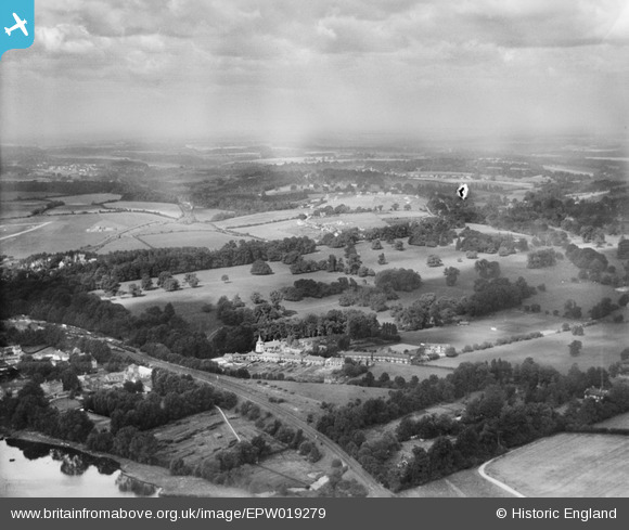
EPW019279 ENGLAND (1927). St Augustine's Priory and environs, Rickmansworth, from the south-east, 1927
© Copyright OpenStreetMap contributors and licensed by the OpenStreetMap Foundation. 2026. Cartography is licensed as CC BY-SA.
Nearby Images (5)
EPW019279

EPW019278

EPW019295

EPW019294

EPW037387

Details
| Title | [EPW019279] St Augustine's Priory and environs, Rickmansworth, from the south-east, 1927 |
| Reference | EPW019279 |
| Date | 12-September-1927 |
| Link | |
| Place name | RICKMANSWORTH |
| Parish | |
| District | |
| Country | ENGLAND |
| Easting / Northing | 506446, 194793 |
| Longitude / Latitude | -0.46152302226117, 51.641385118836 |
| National Grid Reference | TQ064948 |
Pins

Tim |
Monday 25th of November 2013 02:58:42 PM | |
|
Croxley history |
Thursday 12th of July 2012 05:32:41 PM | |
|
Croxley history |
Thursday 12th of July 2012 05:28:07 PM | |
|
Croxley history |
Thursday 12th of July 2012 05:25:03 PM | |
|
Croxley history |
Thursday 12th of July 2012 05:23:54 PM | |
|
Croxley history |
Thursday 12th of July 2012 05:17:46 PM | |
|
Croxley history |
Thursday 12th of July 2012 05:16:06 PM |