
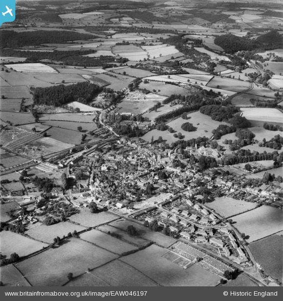
EAW046197 ENGLAND (1952). The town, Much Wenlock, 1952
© Copyright OpenStreetMap contributors and licensed by the OpenStreetMap Foundation. 2026. Cartography is licensed as CC BY-SA.
Nearby Images (8)
EAW046197

EPW061204

EAW009989
 and environs, Much Wenlock, 1947")
EAW046196

EAW009990
, Much Wenlock, 1947")
EAW009991
, Much Wenlock, 1947")
EPW061205

EAW009992
 and environs, Much Wenlock, 1947")
Details
| Title | [EAW046197] The town, Much Wenlock, 1952 |
| Reference | EAW046197 |
| Date | 25-August-1952 |
| Link | |
| Place name | MUCH WENLOCK |
| Parish | MUCH WENLOCK |
| District | |
| Country | ENGLAND |
| Easting / Northing | 362309, 300147 |
| Longitude / Latitude | -2.5565212015958, 52.597451549975 |
| National Grid Reference | SJ623001 |
Pins
Be the first to add a comment to this image!