
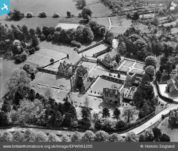
EPW061205 ENGLAND (1939). St Milburga's Priory, Much Wenlock, 1939
© Copyright OpenStreetMap contributors and licensed by the OpenStreetMap Foundation. 2026. Cartography is licensed as CC BY-SA.
Nearby Images (8)
EPW061205

EAW009990
, Much Wenlock, 1947")
EAW009992
 and environs, Much Wenlock, 1947")
EAW009989
 and environs, Much Wenlock, 1947")
EAW009991
, Much Wenlock, 1947")
EPW061204

EAW046197

EAW046196

Details
| Title | [EPW061205] St Milburga's Priory, Much Wenlock, 1939 |
| Reference | EPW061205 |
| Date | 30-May-1939 |
| Link | |
| Place name | MUCH WENLOCK |
| Parish | MUCH WENLOCK |
| District | |
| Country | ENGLAND |
| Easting / Northing | 362490, 300056 |
| Longitude / Latitude | -2.5538384901848, 52.596645948949 |
| National Grid Reference | SJ625001 |
Pins
Be the first to add a comment to this image!