
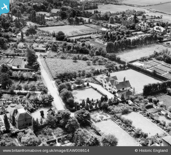
EAW008614 ENGLAND (1947). Highgate and environs, Streetly, 1947
© Copyright OpenStreetMap contributors and licensed by the OpenStreetMap Foundation. 2025. Cartography is licensed as CC BY-SA.
Nearby Images (10)
EAW008614

EAW008615

EAW008616

EAW008617

EAW008612

EAW008618

EAW008611

EAW008610

EAW008613

EPW015114

Details
| Title | [EAW008614] Highgate and environs, Streetly, 1947 |
| Reference | EAW008614 |
| Date | 1-August-1947 |
| Link | |
| Place name | STREETLY |
| Parish | |
| District | |
| Country | ENGLAND |
| Easting / Northing | 408477, 298402 |
| Longitude / Latitude | -1.8748756851087, 52.583003828464 |
| National Grid Reference | SP085984 |
Pins
Be the first to add a comment to this image!