
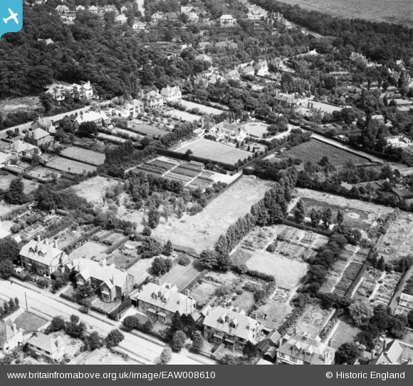
EAW008610 ENGLAND (1947). Residential area and allotments encompassed by Middleton Road, Foley Road and Highgate, Streetly, 1947
© Copyright OpenStreetMap contributors and licensed by the OpenStreetMap Foundation. 2026. Cartography is licensed as CC BY-SA.
Nearby Images (10)
EAW008610

EAW008611

EAW008618

EAW008612

EAW008613

EAW008617

EAW008615

EAW008616

EAW008614

EPW015114

Details
| Title | [EAW008610] Residential area and allotments encompassed by Middleton Road, Foley Road and Highgate, Streetly, 1947 |
| Reference | EAW008610 |
| Date | 1-August-1947 |
| Link | |
| Place name | STREETLY |
| Parish | |
| District | |
| Country | ENGLAND |
| Easting / Northing | 408411, 298403 |
| Longitude / Latitude | -1.875849846755, 52.583013844516 |
| National Grid Reference | SP084984 |
Pins

Simon Lock |
Saturday 21st of June 2014 11:26:39 PM | |
|
Simon Lock |
Saturday 21st of June 2014 11:26:20 PM | |
|
Simon Lock |
Saturday 21st of June 2014 11:26:00 PM | |
|
Simon Lock |
Saturday 21st of June 2014 11:25:35 PM |