
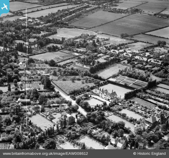
EAW008612 ENGLAND (1947). Residential area and allotments around Highgate, Streetly, 1947. This image was marked by Aerofilms Ltd for photo editing.
© Copyright OpenStreetMap contributors and licensed by the OpenStreetMap Foundation. 2026. Cartography is licensed as CC BY-SA.
Nearby Images (10)
EAW008612

EAW008611

EAW008610

EAW008618

EAW008615

EAW008614

EAW008616

EAW008617

EAW008613

EPW015114

Details
| Title | [EAW008612] Residential area and allotments around Highgate, Streetly, 1947. This image was marked by Aerofilms Ltd for photo editing. |
| Reference | EAW008612 |
| Date | 1-August-1947 |
| Link | |
| Place name | STREETLY |
| Parish | |
| District | |
| Country | ENGLAND |
| Easting / Northing | 408436, 298381 |
| Longitude / Latitude | -1.8754813969348, 52.582815658864 |
| National Grid Reference | SP084984 |
Pins
Be the first to add a comment to this image!