
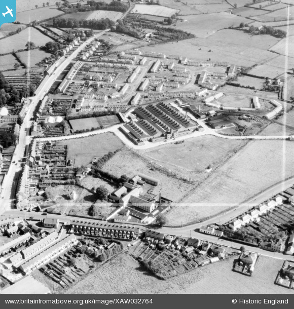
XAW032764 NORTHERN IRELAND (1950). United Kingdom Optical Co. Ltd., Lurgan, Craigavon, Northern Ireland, 1950. Oblique aerial photograph taken facing East. This image was marked by Aerofilms Ltd for photo editing.
© Copyright OpenStreetMap contributors and licensed by the OpenStreetMap Foundation. 2026. Cartography is licensed as CC BY-SA.
Nearby Images (16)
XAW032764

XAW032765

XAW032760

XAW032766

XAW032761

XAW032763

XAW032762

XAW027109

XAW027107

XAW027106

XAW027108

XAW019261

XAW027111

XAW019260

XAW019257

XAW019259

Details
| Title | [XAW032764] United Kingdom Optical Co. Ltd., Lurgan, Craigavon, Northern Ireland, 1950. Oblique aerial photograph taken facing East. This image was marked by Aerofilms Ltd for photo editing. |
| Reference | XAW032764 |
| Date | 15-September-1950 |
| Link | |
| Place name | LURGAN |
| Parish | NORTHERN IRELAND |
| District | |
| Country | NORTHERN IRELAND |
| Easting / Northing | 120089, 515448 |
| Longitude / Latitude | -6.32035, 54.457048 |
| National Grid Reference |
Pins
Be the first to add a comment to this image!