
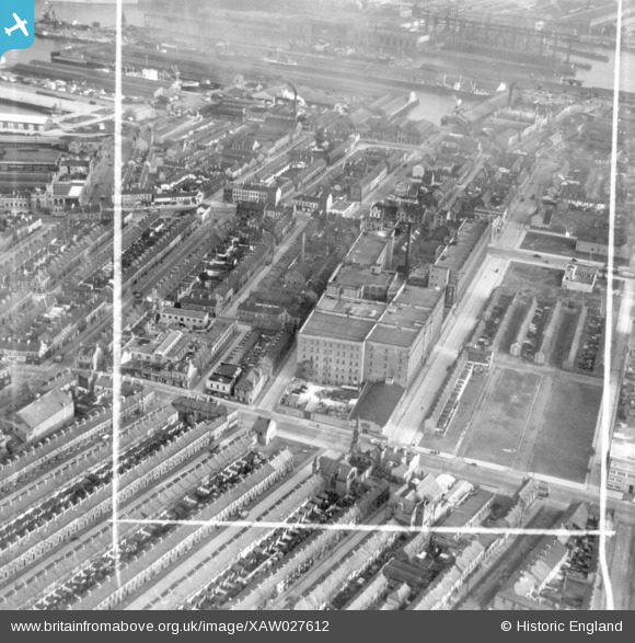
XAW027612 NORTHERN IRELAND (1949). Virginia House, Belfast, Belfast, Northern Ireland, 1949. Oblique aerial photograph taken facing East. This image was marked by Aerofilms Ltd for photo editing.
© Copyright OpenStreetMap contributors and licensed by the OpenStreetMap Foundation. 2026. Cartography is licensed as CC BY-SA.
Nearby Images (13)
XAW027612

XAW027611

XAW027609

XAW027606

XPW033875

XAW027607

XAW027614

XPW033869

XPW033868

XAW027610

XPW033870

XAW027613

XAW027608

Details
| Title | [XAW027612] Virginia House, Belfast, Belfast, Northern Ireland, 1949. Oblique aerial photograph taken facing East. This image was marked by Aerofilms Ltd for photo editing. |
| Reference | XAW027612 |
| Date | 2-November-1949 |
| Link | |
| Place name | BELFAST |
| Parish | NORTHERN IRELAND |
| District | |
| Country | NORTHERN IRELAND |
| Easting / Northing | 146388, 530850 |
| Longitude / Latitude | -5.92894, 54.60895 |
| National Grid Reference |
Pins
Be the first to add a comment to this image!