
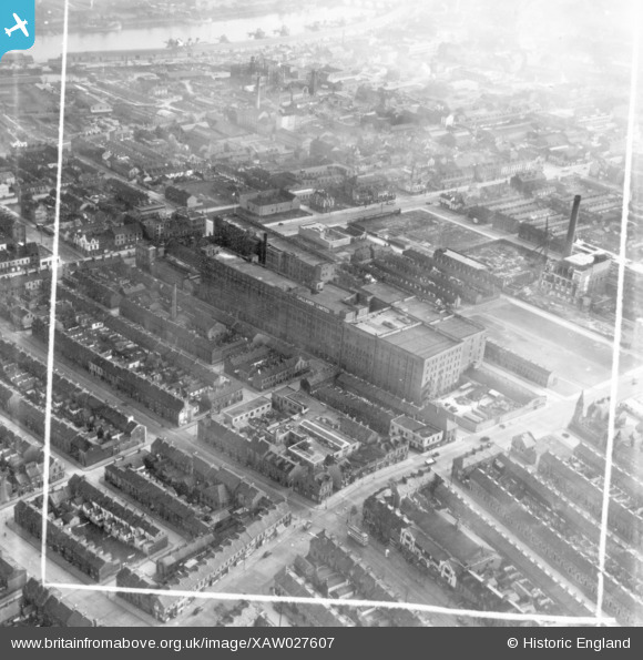
XAW027607 NORTHERN IRELAND (1949). Virginia House, Belfast, Belfast, Northern Ireland, 1949. Oblique aerial photograph taken facing South. This image was marked by Aerofilms Ltd for photo editing.
© Copyright OpenStreetMap contributors and licensed by the OpenStreetMap Foundation. 2026. Cartography is licensed as CC BY-SA.
Nearby Images (11)
XAW027607

XAW027614

XAW027611

XPW033875

XPW033869

XAW027612

XAW027613

XAW027608

XAW027609

XPW033870

XPW033868

Details
| Title | [XAW027607] Virginia House, Belfast, Belfast, Northern Ireland, 1949. Oblique aerial photograph taken facing South. This image was marked by Aerofilms Ltd for photo editing. |
| Reference | XAW027607 |
| Date | 2-November-1949 |
| Link | |
| Place name | BELFAST |
| Parish | NORTHERN IRELAND |
| District | |
| Country | NORTHERN IRELAND |
| Easting / Northing | 146439, 530981 |
| Longitude / Latitude | -5.928267, 54.61015 |
| National Grid Reference |
Pins

MB |
Saturday 22nd of October 2016 03:45:11 PM |