
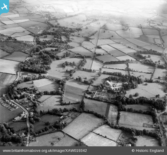
XAW019342 IRELAND (1948). Clonard House, Dundrum, Dublin, Ireland, 1948. Oblique aerial photograph taken facing South.
© Copyright OpenStreetMap contributors and licensed by the OpenStreetMap Foundation. 2026. Cartography is licensed as CC BY-SA.
Nearby Images (3)
XAW019342

XAW019340

XAW019341

Details
| Title | [XAW019342] Clonard House, Dundrum, Dublin, Ireland, 1948. Oblique aerial photograph taken facing South. |
| Reference | XAW019342 |
| Date | 20-September-1948 |
| Link | |
| Place name | DUNDRUM |
| Parish | IRELAND |
| District | |
| Country | IRELAND |
| Easting / Northing | 117698, 384292 |
| Longitude / Latitude | -6.236425, 53.280229 |
| National Grid Reference |
