
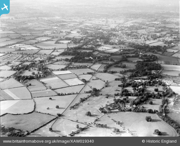
XAW019340 IRELAND (1948). Clonard House, Dundrum, Dublin, Ireland, 1948. Oblique aerial photograph taken facing North/West.
© Copyright OpenStreetMap contributors and licensed by the OpenStreetMap Foundation. 2026. Cartography is licensed as CC BY-SA.
Nearby Images (3)
XAW019340

XAW019342

XAW019341

Details
| Title | [XAW019340] Clonard House, Dundrum, Dublin, Ireland, 1948. Oblique aerial photograph taken facing North/West. |
| Reference | XAW019340 |
| Date | 20-September-1948 |
| Link | |
| Place name | DUNDRUM |
| Parish | IRELAND |
| District | |
| Country | IRELAND |
| Easting / Northing | 117598, 384242 |
| Longitude / Latitude | -6.237863, 53.279727 |
| National Grid Reference |
Pins

dave douglas |
Monday 28th of July 2025 10:12:10 PM | |
|
dave douglas |
Monday 28th of July 2025 10:02:54 PM | |
|
dave douglas |
Monday 28th of July 2025 10:02:02 PM | |
|
dave douglas |
Friday 24th of February 2023 02:58:55 PM | |
|
dave douglas |
Friday 24th of February 2023 02:57:24 PM | |
|
Windsor70 |
Monday 8th of December 2014 10:26:35 PM | |
|
Windsor70 |
Monday 8th of December 2014 10:00:33 PM |