
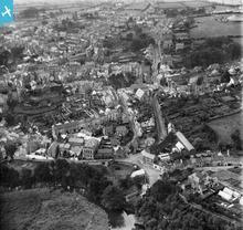
WPW040058 WALES (1932). General view of Haverfordwest, with fair, oblique aerial view. 5"x4" black and white glass plate negative.

© Copyright OpenStreetMap contributors and licensed by the OpenStreetMap Foundation. 2026. Cartography is licensed as CC BY-SA.
Nearby Images (8)
WAW033606

WAW033607

WAW033608

WAW033609

WPW040055

WPW040056

WPW040057

WPW040058

Details
| Title | [WPW040058] General view of Haverfordwest, with fair, oblique aerial view. 5"x4" black and white glass plate negative. |
| Reference | WPW040058 |
| Date | 1932 |
| Link | Coflein Archive Item 6369671 |
| Place name | |
| Parish | |
| District | |
| Country | WALES |
| Easting / Northing | 195309, 215672 |
| Longitude / Latitude | -4.9691362452415, 51.801716134402 |
| National Grid Reference | SM953157 |
Pins

Peter |
Monday 23rd of February 2026 03:45:48 PM | |

Dylan Moore |
Wednesday 31st of October 2012 09:57:54 PM | |
|
Dylan Moore |
Wednesday 31st of October 2012 09:57:06 PM | |
|
Dylan Moore |
Wednesday 31st of October 2012 09:56:20 PM | |
|
Gonk |
Friday 3rd of August 2012 08:57:29 PM | |
|
DeborahWales |
Saturday 30th of June 2012 07:24:43 PM | |
|
DeborahWales |
Saturday 30th of June 2012 07:23:59 PM | |
|
DeborahWales |
Saturday 30th of June 2012 07:23:03 PM | |
|
DeborahWales |
Saturday 30th of June 2012 07:22:13 PM |
User Comment Contributions
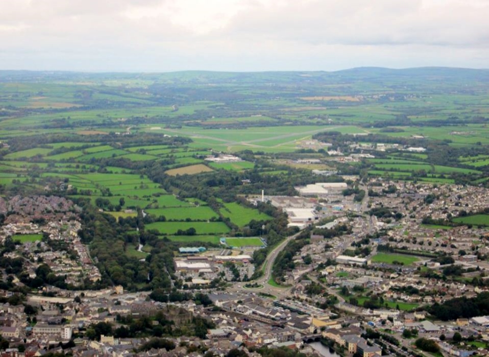
Aerial view of Haverfordwest October 2013 courtesy Con Shields |

Class31 |
Sunday 6th of April 2014 05:40:56 PM |
Haverfordwest |
DeborahWales |
Saturday 30th of June 2012 05:58:46 PM |