
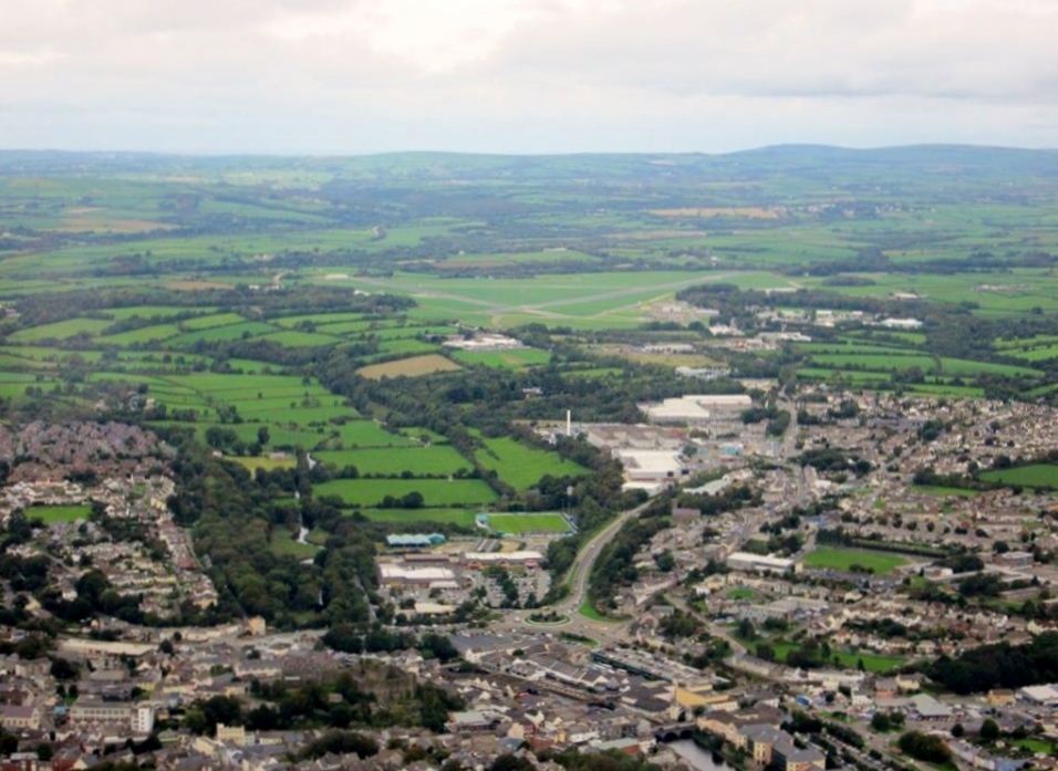
WAW033606 WALES (1950). View of Haverfordwest

© Copyright OpenStreetMap contributors and licensed by the OpenStreetMap Foundation. 2026. Cartography is licensed as CC BY-SA.
Nearby Images (8)
WAW033606

WAW033607

WAW033608

WAW033609

WPW040055

WPW040056

WPW040057

WPW040058

Details
| Title | [WAW033606] View of Haverfordwest |
| Reference | WAW033606 |
| Date | 1950 |
| Link | Coflein Archive Item 6414359 |
| Place name | |
| Parish | |
| District | |
| Country | WALES |
| Easting / Northing | 195309, 215672 |
| Longitude / Latitude | -4.9691362452415, 51.801716134402 |
| National Grid Reference | SM953157 |
Pins

User Comment Contributions
Aerial view of Haverfordwest 14/10/2013 courtesy Con Shields |

Class31 |
Monday 28th of April 2014 01:03:54 PM |