
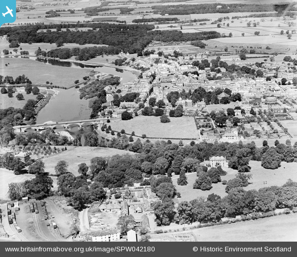
SPW042180 SCOTLAND (1933). Kelso, general view, showing Kelso Bridge and Bowmont Street. An oblique aerial photograph taken facing north.
© Copyright OpenStreetMap contributors and licensed by the OpenStreetMap Foundation. 2026. Cartography is licensed as CC BY-SA.
Nearby Images (9)
SPW042180

SPW042181

SPW042179

SPW042178

SPW042182

SAW016842

SAW016840

SAR035975

SAW016843

Details
| Title | [SPW042180] Kelso, general view, showing Kelso Bridge and Bowmont Street. An oblique aerial photograph taken facing north. |
| Reference | SPW042180 |
| Date | 1933 |
| Link | NRHE Collection item 1257577 |
| Place name | |
| Parish | KELSO |
| District | ROXBURGH |
| Country | SCOTLAND |
| Easting / Northing | 372908, 633768 |
| Longitude / Latitude | -2.4299684069926, 55.596780600992 |
| National Grid Reference | NT729338 |
Pins

Scott |
Tuesday 6th of April 2021 09:34:28 PM |