
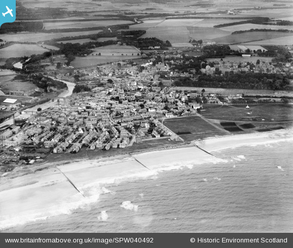
SPW040492 SCOTLAND (1932). Nairn, general view, showing Fishertown Links and Nairn Bridge. An oblique aerial photograph taken facing south.
© Copyright OpenStreetMap contributors and licensed by the OpenStreetMap Foundation. 2025. Cartography is licensed as CC BY-SA.
Nearby Images (7)
SPW040492

SAW052389

SPW022130

SAW052388

SPW033687

SPW033838

SPW022133

Details
| Title | [SPW040492] Nairn, general view, showing Fishertown Links and Nairn Bridge. An oblique aerial photograph taken facing south. |
| Reference | SPW040492 |
| Date | 1932 |
| Link | NRHE Collection item 1257528 |
| Place name | |
| Parish | NAIRN |
| District | NAIRN |
| Country | SCOTLAND |
| Easting / Northing | 288470, 856850 |
| Longitude / Latitude | -3.8657967791406, 57.588124903659 |
| National Grid Reference | NH885569 |
Pins
Be the first to add a comment to this image!