
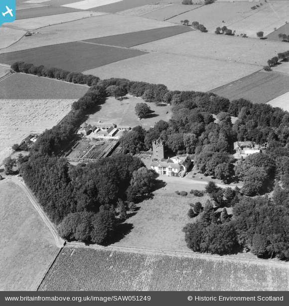
SAW051249 SCOTLAND (1953). Affleck Castle and Home Farm, Monikie. An oblique aerial photograph taken facing north.
© Copyright OpenStreetMap contributors and licensed by the OpenStreetMap Foundation. 2025. Cartography is licensed as CC BY-SA.
Nearby Images (3)
SAW051249

SAW051251

SAW051250

Details
| Title | [SAW051249] Affleck Castle and Home Farm, Monikie. An oblique aerial photograph taken facing north. |
| Reference | SAW051249 |
| Date | 1953 |
| Link | NRHE Collection item 1297910 |
| Place name | |
| Parish | MONIKIE |
| District | ANGUS |
| Country | SCOTLAND |
| Easting / Northing | 349402, 738808 |
| Longitude / Latitude | -2.8228550907902, 56.538663120067 |
| National Grid Reference | NO494388 |
Pins
Be the first to add a comment to this image!