
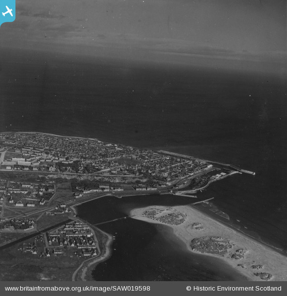
SAW019598 SCOTLAND (1948). Lossiemouth, general view. An oblique aerial photograph taken facing north. This image has been produced from a print.
© Copyright OpenStreetMap contributors and licensed by the OpenStreetMap Foundation. 2026. Cartography is licensed as CC BY-SA.
Nearby Images (4)
SAW019598

SPW022128

SAW019597

SPW040551

Details
| Title | [SAW019598] Lossiemouth, general view. An oblique aerial photograph taken facing north. This image has been produced from a print. |
| Reference | SAW019598 |
| Date | 1948 |
| Link | NRHE Collection item 1314971 |
| Place name | |
| Parish | DRAINIE |
| District | MORAY |
| Country | SCOTLAND |
| Easting / Northing | 323768, 870749 |
| Longitude / Latitude | -3.2798871879199, 57.720291372969 |
| National Grid Reference | NJ238707 |
Pins
Be the first to add a comment to this image!