
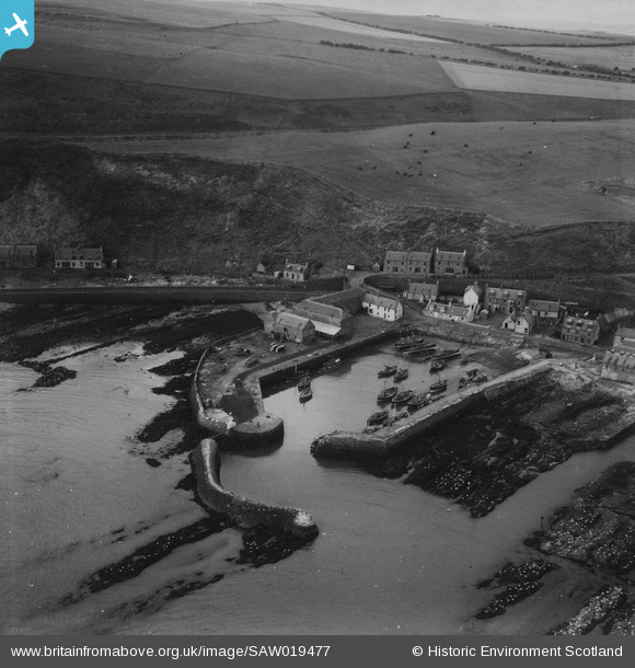
SAW019477 SCOTLAND (1948). Gourdon Harbour. An oblique aerial photograph taken facing north-west. This image has been produced from a print.
© Copyright OpenStreetMap contributors and licensed by the OpenStreetMap Foundation. 2026. Cartography is licensed as CC BY-SA.
Nearby Images (4)
SAW019477

SAW019478

SAW019479

SAW019480

Details
| Title | [SAW019477] Gourdon Harbour. An oblique aerial photograph taken facing north-west. This image has been produced from a print. |
| Reference | SAW019477 |
| Date | 1948 |
| Link | NRHE Collection item 1314902 |
| Place name | |
| Parish | BERVIE |
| District | KINCARDINE AND DEESIDE |
| Country | SCOTLAND |
| Easting / Northing | 382570, 770642 |
| Longitude / Latitude | -2.2856284909887, 56.827080529423 |
| National Grid Reference | NO826706 |
Pins
Be the first to add a comment to this image!