
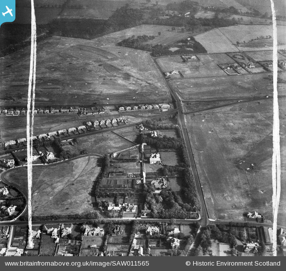
SAW011565 SCOTLAND (1947). Troon, general view, showing Craigend Road and Lochgreen Golf Course. An oblique aerial photograph taken facing east. This image has been produced from a crop marked negative.
© Copyright OpenStreetMap contributors and licensed by the OpenStreetMap Foundation. 2026. Cartography is licensed as CC BY-SA.
Nearby Images (6)
SAW011563

SAW011565

SAW011564

SAW011568

SAW011566

SAW011567

Details
| Title | [SAW011565] Troon, general view, showing Craigend Road and Lochgreen Golf Course. An oblique aerial photograph taken facing east. This image has been produced from a crop marked negative. |
| Reference | SAW011565 |
| Date | 1947 |
| Link | NRHE Collection item 1268783 |
| Place name | |
| Parish | DUNDONALD (KYLE AND CARRICK) |
| District | KYLE AND CARRICK |
| Country | SCOTLAND |
| Easting / Northing | 233139, 629919 |
| Longitude / Latitude | -4.6443328897642, 55.534409074881 |
| National Grid Reference | NS331299 |
Pins
Be the first to add a comment to this image!
User Comment Contributions
Fullarton Woods at the very top |

Thisisdonald |
Friday 19th of October 2012 11:20:26 PM |