
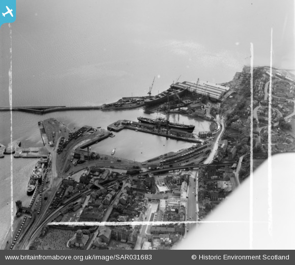
SAR031683 SCOTLAND (1958). Burntisland Docks Burntisland, Fife, Scotland. An oblique aerial photograph taken facing West. This image was marked by AeroPictorial Ltd for photo editing.
© Copyright OpenStreetMap contributors and licensed by the OpenStreetMap Foundation. 2026. Cartography is licensed as CC BY-SA.
Nearby Images (10)
SAR016801

SAR016802

SAR031683

SPW027184

SPW027183

SPW027288

SPW027524

SPW027283

SPW027186

SPW027285

Details
| Title | [SAR031683] Burntisland Docks Burntisland, Fife, Scotland. An oblique aerial photograph taken facing West. This image was marked by AeroPictorial Ltd for photo editing. |
| Reference | SAR031683 |
| Date | 1958 |
| Link | NRHE Collection item 1438573 |
| Place name | |
| Parish | BURNTISLAND |
| District | KIRKCALDY |
| Country | SCOTLAND |
| Easting / Northing | 323020, 685414 |
| Longitude / Latitude | -3.2362161721222, 56.055434211005 |
| National Grid Reference | NT230854 |
Pins
Be the first to add a comment to this image!