
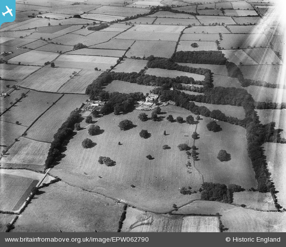
EPW062790 ENGLAND (1939). Hornby Grange, Hornby Grange Farm and the surrounding countryside, Hornby, 1939. This image has been affected by flare.
© Copyright OpenStreetMap contributors and licensed by the OpenStreetMap Foundation. 2025. Cartography is licensed as CC BY-SA.
Nearby Images (5)
EPW062790

EPW062788

EPW062786

EPW062789

EPW062787

Details
| Title | [EPW062790] Hornby Grange, Hornby Grange Farm and the surrounding countryside, Hornby, 1939. This image has been affected by flare. |
| Reference | EPW062790 |
| Date | 18-August-1939 |
| Link | |
| Place name | HORNBY |
| Parish | HORNBY |
| District | |
| Country | ENGLAND |
| Easting / Northing | 436259, 504076 |
| Longitude / Latitude | -1.4410038793712, 54.430673416979 |
| National Grid Reference | NZ363041 |
Pins
Be the first to add a comment to this image!