
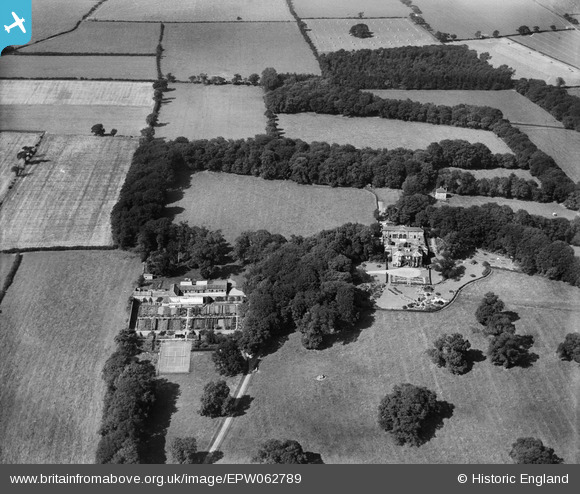
EPW062789 ENGLAND (1939). Hornby Grange and Hornby Grange Farm, Hornby, 1939
© Copyright OpenStreetMap contributors and licensed by the OpenStreetMap Foundation. 2025. Cartography is licensed as CC BY-SA.
Nearby Images (5)
EPW062789

EPW062787

EPW062788

EPW062786

EPW062790

Details
| Title | [EPW062789] Hornby Grange and Hornby Grange Farm, Hornby, 1939 |
| Reference | EPW062789 |
| Date | 18-August-1939 |
| Link | |
| Place name | HORNBY |
| Parish | HORNBY |
| District | |
| Country | ENGLAND |
| Easting / Northing | 436164, 504181 |
| Longitude / Latitude | -1.4424555813695, 54.431623886305 |
| National Grid Reference | NZ362042 |
Pins
Be the first to add a comment to this image!