
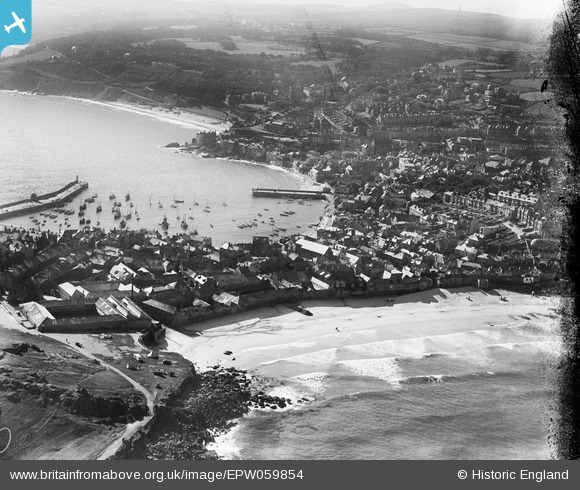
EPW059854 ENGLAND (1938). Porthmeor Beach, the harbour and town, St Ives, from the north-west, 1938
© Copyright OpenStreetMap contributors and licensed by the OpenStreetMap Foundation. 2025. Cartography is licensed as CC BY-SA.
Nearby Images (8)
EPW059854

EPW021744

EPW021748

EPW039834

EAW257342

EPW021752

EPW039835

EPW021747

Details
| Title | [EPW059854] Porthmeor Beach, the harbour and town, St Ives, from the north-west, 1938 |
| Reference | EPW059854 |
| Date | 22-September-1938 |
| Link | |
| Place name | ST IVES |
| Parish | ST. IVES |
| District | |
| Country | ENGLAND |
| Easting / Northing | 151807, 40904 |
| Longitude / Latitude | -5.4794224950884, 50.215369885873 |
| National Grid Reference | SW518409 |
Pins

MML |
Tuesday 10th of March 2020 10:23:55 AM | |
|
longshot |
Monday 17th of June 2013 07:50:16 PM | |
|
totoro |
Saturday 15th of June 2013 12:00:12 PM | |
|
totoro |
Saturday 15th of June 2013 11:59:54 AM | |
|
totoro |
Saturday 15th of June 2013 11:55:06 AM | |
|
totoro |
Saturday 15th of June 2013 11:54:00 AM | |
|
totoro |
Saturday 15th of June 2013 11:48:25 AM | |
|
totoro |
Saturday 15th of June 2013 11:48:13 AM | |
|
totoro |
Saturday 15th of June 2013 11:47:44 AM | |
|
totoro |
Saturday 15th of June 2013 11:47:26 AM |
User Comment Contributions
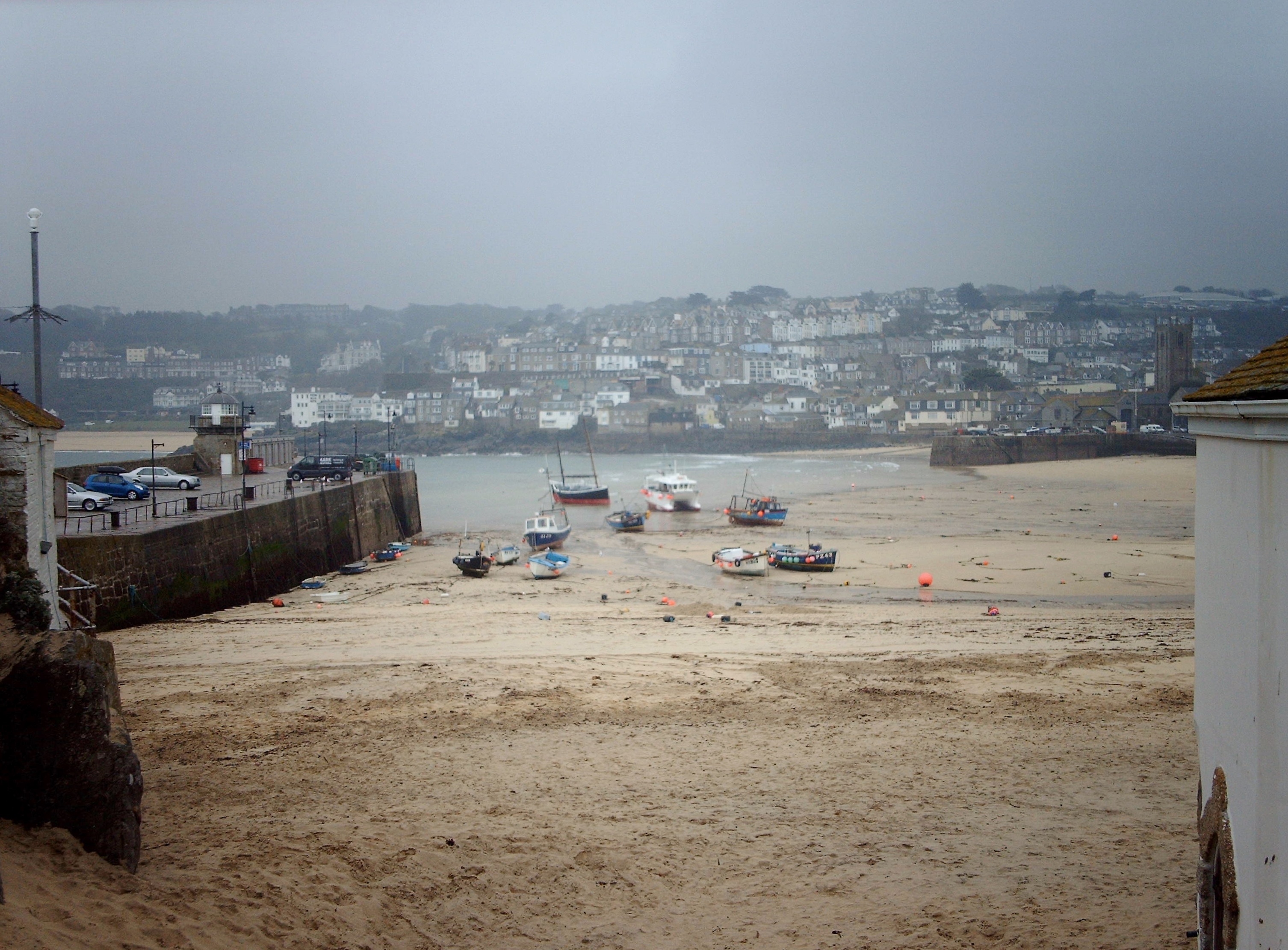
Harbour at low tide 20/4/2008 |

Class31 |
Tuesday 25th of February 2014 02:23:47 PM |