
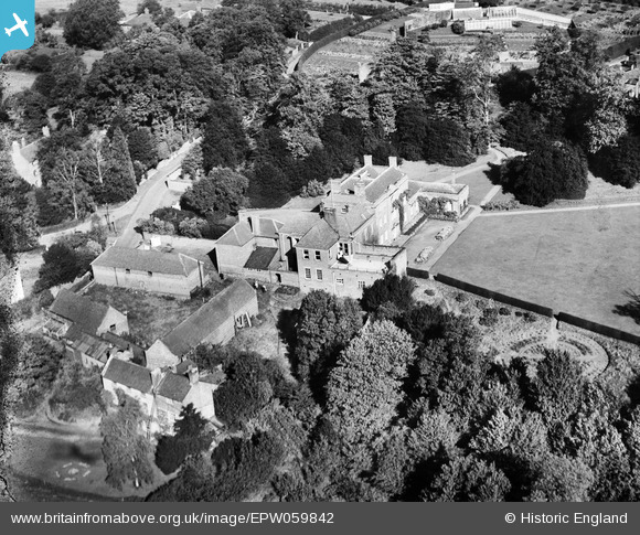
EPW059842 ENGLAND (1938). Wolverley House, Wolverley, 1938
© Copyright OpenStreetMap contributors and licensed by the OpenStreetMap Foundation. 2026. Cartography is licensed as CC BY-SA.
Nearby Images (4)
EPW059842

EPW059837

EPW059836

EPW059838

Details
| Title | [EPW059842] Wolverley House, Wolverley, 1938 |
| Reference | EPW059842 |
| Date | 6-October-1938 |
| Link | |
| Place name | WOLVERLEY |
| Parish | WOLVERLEY AND COOKLEY |
| District | |
| Country | ENGLAND |
| Easting / Northing | 383008, 279601 |
| Longitude / Latitude | -2.2498485086744, 52.413766555925 |
| National Grid Reference | SO830796 |
Pins
Be the first to add a comment to this image!