
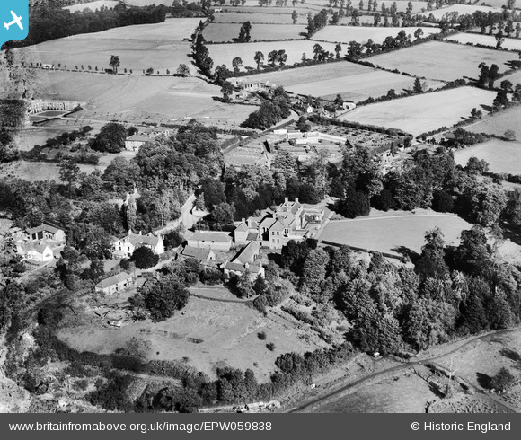
EPW059838 ENGLAND (1938). Wolverley House and environs, Wolverley, 1938
© Copyright OpenStreetMap contributors and licensed by the OpenStreetMap Foundation. 2026. Cartography is licensed as CC BY-SA.
Nearby Images (4)
EPW059838

EPW059836

EPW059837

EPW059842

Details
| Title | [EPW059838] Wolverley House and environs, Wolverley, 1938 |
| Reference | EPW059838 |
| Date | 6-October-1938 |
| Link | |
| Place name | WOLVERLEY |
| Parish | WOLVERLEY AND COOKLEY |
| District | |
| Country | ENGLAND |
| Easting / Northing | 382991, 279643 |
| Longitude / Latitude | -2.2501006084071, 52.414143650431 |
| National Grid Reference | SO830796 |
Pins

Mc345 |
Wednesday 29th of January 2014 09:53:12 PM |