
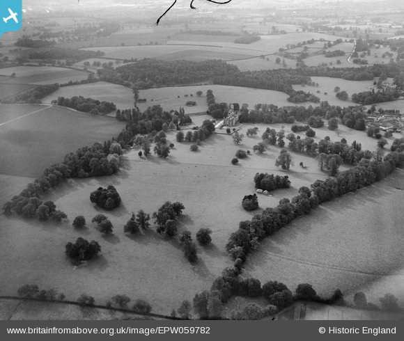
EPW059782 ENGLAND (1938). Hunsdon House and surrounding countryside, Hunsdon, 1938
© Copyright OpenStreetMap contributors and licensed by the OpenStreetMap Foundation. 2026. Cartography is licensed as CC BY-SA.
Nearby Images (4)
EPW059782

EPW059776

EPW059779

EPW059780

Details
| Title | [EPW059782] Hunsdon House and surrounding countryside, Hunsdon, 1938 |
| Reference | EPW059782 |
| Date | 6-October-1938 |
| Link | |
| Place name | HUNSDON |
| Parish | HUNSDON |
| District | |
| Country | ENGLAND |
| Easting / Northing | 542166, 212768 |
| Longitude / Latitude | 0.061764838791176, 51.795019669893 |
| National Grid Reference | TL422128 |
Pins
Be the first to add a comment to this image!