
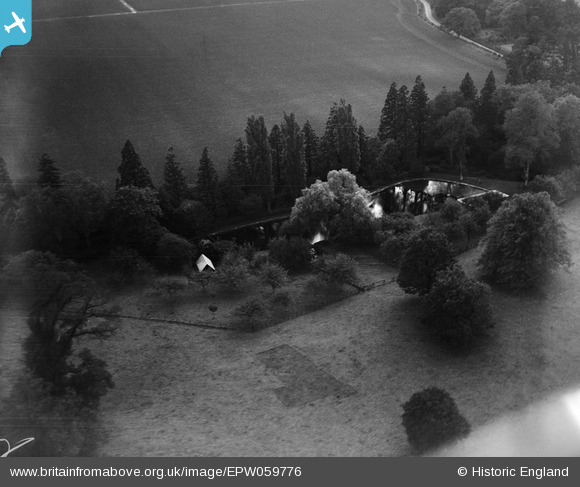
EPW059776 ENGLAND (1938). Pond at Hunsdon House, Hunsdon, 1938
© Copyright OpenStreetMap contributors and licensed by the OpenStreetMap Foundation. 2026. Cartography is licensed as CC BY-SA.
Nearby Images (6)
EPW059776

EPW059779

EPW059782

EPW059780

EPW059781

EPW059778

Details
| Title | [EPW059776] Pond at Hunsdon House, Hunsdon, 1938 |
| Reference | EPW059776 |
| Date | 6-October-1938 |
| Link | |
| Place name | HUNSDON |
| Parish | HUNSDON |
| District | |
| Country | ENGLAND |
| Easting / Northing | 542092, 212599 |
| Longitude / Latitude | 0.060623154702258, 51.793519803002 |
| National Grid Reference | TL421126 |
Pins
Be the first to add a comment to this image!