
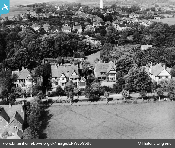
EPW059586 ENGLAND (1938). Greenlawn house and the surrounding residential area, Burnham-on-Sea, 1938
© Copyright OpenStreetMap contributors and licensed by the OpenStreetMap Foundation. 2026. Cartography is licensed as CC BY-SA.
Nearby Images (9)
EPW059586

EPW059585

EPW059589

EPW059587

EPW059584

EPW059590

EPW059592

EPW059593

EPW059591

Details
| Title | [EPW059586] Greenlawn house and the surrounding residential area, Burnham-on-Sea, 1938 |
| Reference | EPW059586 |
| Date | 24-September-1938 |
| Link | |
| Place name | BURNHAM-ON-SEA |
| Parish | BURNHAM-ON-SEA AND HIGHBRIDGE |
| District | |
| Country | ENGLAND |
| Easting / Northing | 330773, 150072 |
| Longitude / Latitude | -2.9919072849996, 51.245103342418 |
| National Grid Reference | ST308501 |
Pins

Andrew Preedy |
Monday 25th of July 2016 11:23:14 AM | |

Class31 |
Wednesday 11th of February 2015 09:17:48 AM | |
|
Class31 |
Wednesday 11th of February 2015 09:15:38 AM | |
|
Class31 |
Wednesday 11th of February 2015 09:14:53 AM |


