
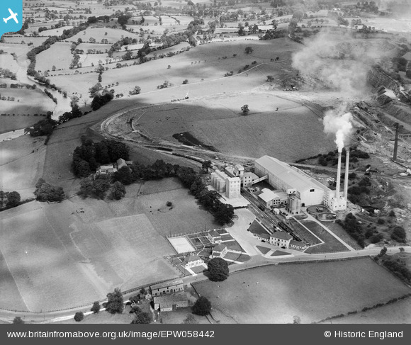
EPW058442 ENGLAND (1938). Ribble Cement Works, Horrocksford, 1938
© Copyright OpenStreetMap contributors and licensed by the OpenStreetMap Foundation. 2026. Cartography is licensed as CC BY-SA.
Nearby Images (6)
EPW058442

EPW058437

EPW058438

EPW058441

EPW058439

EPW058440

Details
| Title | [EPW058442] Ribble Cement Works, Horrocksford, 1938 |
| Reference | EPW058442 |
| Date | 26-July-1938 |
| Link | |
| Place name | HORROCKSFORD |
| Parish | CLITHEROE |
| District | |
| Country | ENGLAND |
| Easting / Northing | 374866, 443814 |
| Longitude / Latitude | -2.3824626463334, 53.889694295275 |
| National Grid Reference | SD749438 |
Pins

Dylan Moore |
Saturday 15th of June 2013 12:40:42 PM | |
|
Dylan Moore |
Saturday 15th of June 2013 12:39:35 PM | |
|
Dylan Moore |
Saturday 15th of June 2013 12:38:38 PM | |
|
Dylan Moore |
Saturday 15th of June 2013 12:37:25 PM |