
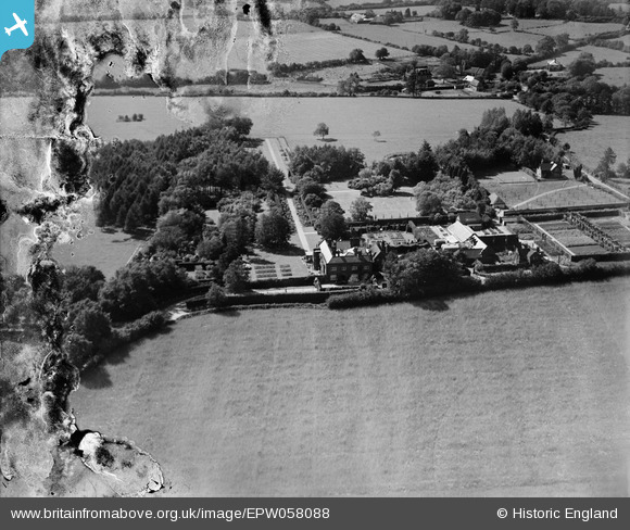
EPW058088 ENGLAND (1938). Ellisfield Manor, Ellisfield, 1938
© Copyright OpenStreetMap contributors and licensed by the OpenStreetMap Foundation. 2025. Cartography is licensed as CC BY-SA.
Nearby Images (6)
EPW058088

EPW058086

EPW057767

EPW058087

EPW057769

EPW058084

Details
| Title | [EPW058088] Ellisfield Manor, Ellisfield, 1938 |
| Reference | EPW058088 |
| Date | 20-July-1938 |
| Link | |
| Place name | ELLISFIELD |
| Parish | ELLISFIELD |
| District | |
| Country | ENGLAND |
| Easting / Northing | 464343, 145546 |
| Longitude / Latitude | -1.0788749613087, 51.204978633771 |
| National Grid Reference | SU643455 |
Pins
Be the first to add a comment to this image!