
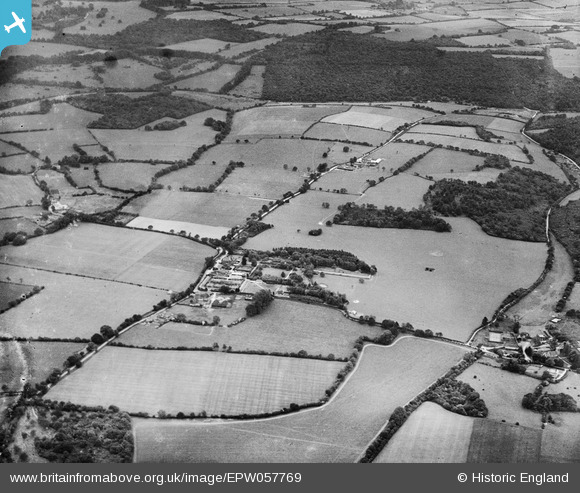
EPW057769 ENGLAND (1938). Ellisfield Manor and surrounding countryside, Ellisfield, 1938
© Copyright OpenStreetMap contributors and licensed by the OpenStreetMap Foundation. 2025. Cartography is licensed as CC BY-SA.
Nearby Images (6)
EPW057769

EPW058084

EPW058088

EPW058086

EPW058087

EPW057767

Details
| Title | [EPW057769] Ellisfield Manor and surrounding countryside, Ellisfield, 1938 |
| Reference | EPW057769 |
| Date | 26-June-1938 |
| Link | |
| Place name | ELLISFIELD |
| Parish | ELLISFIELD |
| District | |
| Country | ENGLAND |
| Easting / Northing | 464252, 145435 |
| Longitude / Latitude | -1.0801974051589, 51.203990790172 |
| National Grid Reference | SU643454 |
Pins
 totoro |
Thursday 25th of July 2013 09:21:03 PM |