
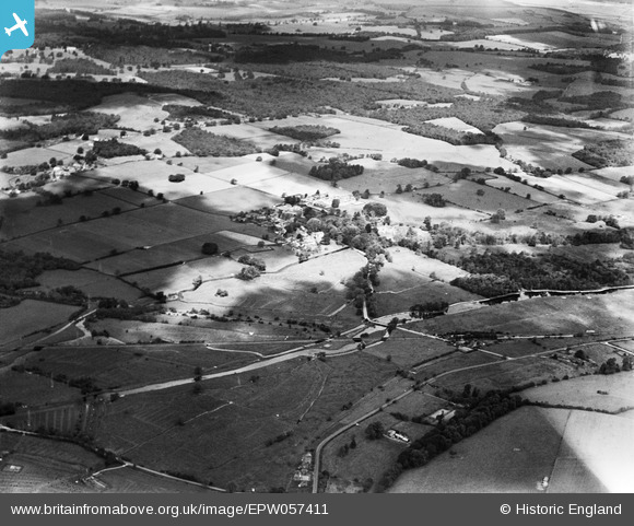
EPW057411 ENGLAND (1938). Mottisfont Abbey, the village and surrounding countryside, Mottisfont, 1938
© Copyright OpenStreetMap contributors and licensed by the OpenStreetMap Foundation. 2026. Cartography is licensed as CC BY-SA.
Nearby Images (11)
EPW057411

EPW057416

EPW057413

EPW056959

EPW056956

EPW056957

EPW056973

EPW056974

EPW056972

EPW056958

EPW057410

Details
| Title | [EPW057411] Mottisfont Abbey, the village and surrounding countryside, Mottisfont, 1938 |
| Reference | EPW057411 |
| Date | 3-June-1938 |
| Link | |
| Place name | MOTTISFONT |
| Parish | MOTTISFONT |
| District | |
| Country | ENGLAND |
| Easting / Northing | 432676, 126712 |
| Longitude / Latitude | -1.5338986912921, 51.038298723446 |
| National Grid Reference | SU327267 |
Pins

Lee |
Thursday 7th of November 2013 08:15:46 PM | |
|
Lee |
Thursday 7th of November 2013 08:15:00 PM | |
|
Lee |
Sunday 27th of October 2013 07:21:49 AM | |
|
Lee |
Wednesday 23rd of October 2013 10:24:45 AM | |
|
Lee |
Wednesday 23rd of October 2013 10:23:15 AM | |
|
Lee |
Wednesday 23rd of October 2013 10:21:25 AM | |
|
Lee |
Wednesday 23rd of October 2013 10:20:39 AM | |

MB |
Saturday 22nd of June 2013 07:45:04 PM | |
|
MB |
Saturday 22nd of June 2013 07:43:30 PM | |
|
MB |
Saturday 22nd of June 2013 07:42:51 PM | |
|
MB |
Saturday 22nd of June 2013 07:42:31 PM |