
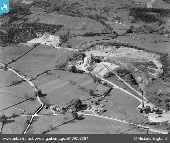
EPW057364 ENGLAND (1938). The Threshfield Lime Works, Threshfield, 1938
© Copyright OpenStreetMap contributors and licensed by the OpenStreetMap Foundation. 2026. Cartography is licensed as CC BY-SA.
Nearby Images (11)
EPW057364

EAW023555

EPW057365

EPW057363

EPW057368

EPW057366

EPW057367

EAW023549

EAW023550

EAW023546

EAW023547

Details
| Title | [EPW057364] The Threshfield Lime Works, Threshfield, 1938 |
| Reference | EPW057364 |
| Date | 30-May-1938 |
| Link | |
| Place name | THRESHFIELD |
| Parish | THRESHFIELD |
| District | |
| Country | ENGLAND |
| Easting / Northing | 397865, 464121 |
| Longitude / Latitude | -2.032630914047, 54.072833354976 |
| National Grid Reference | SD979641 |
Pins

MB |
Monday 24th of June 2013 10:02:31 AM |