
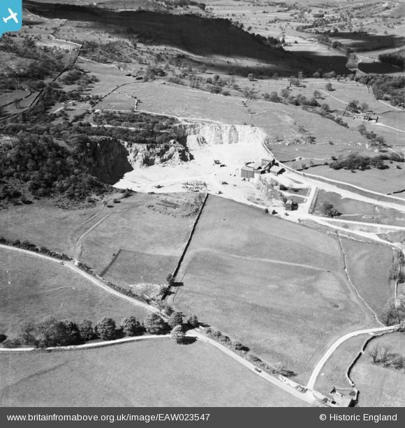
EAW023547 ENGLAND (1949). Threshfield Limestone Quarries, Threshfield, 1949
© Copyright OpenStreetMap contributors and licensed by the OpenStreetMap Foundation. 2026. Cartography is licensed as CC BY-SA.
Nearby Images (10)
EAW023547

EAW023546

EAW023548

EPW057366

EAW023554

EPW057363

EPW057365

EPW057368

EAW023555

EPW057364

Details
| Title | [EAW023547] Threshfield Limestone Quarries, Threshfield, 1949 |
| Reference | EAW023547 |
| Date | 28-May-1949 |
| Link | |
| Place name | THRESHFIELD |
| Parish | THRESHFIELD |
| District | |
| Country | ENGLAND |
| Easting / Northing | 397662, 464289 |
| Longitude / Latitude | -2.035734821706, 54.074342557896 |
| National Grid Reference | SD977643 |
Pins
Be the first to add a comment to this image!