
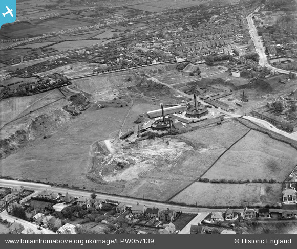
EPW057139 ENGLAND (1938). Thorneywood Brick Works, Carlton, 1938
© Copyright OpenStreetMap contributors and licensed by the OpenStreetMap Foundation. 2026. Cartography is licensed as CC BY-SA.
Nearby Images (5)
EPW057139

EPW057141

EPW057143

EPW057140

EPW057142

Details
| Title | [EPW057139] Thorneywood Brick Works, Carlton, 1938 |
| Reference | EPW057139 |
| Date | 20-May-1938 |
| Link | |
| Place name | CARLTON |
| Parish | |
| District | |
| Country | ENGLAND |
| Easting / Northing | 459427, 341426 |
| Longitude / Latitude | -1.115076712591, 52.966585954855 |
| National Grid Reference | SK594414 |
Pins

KC |
Thursday 24th of February 2022 10:23:15 AM | |
|
pim-54 |
Thursday 3rd of July 2014 01:21:08 PM | |
|
pim-54 |
Thursday 3rd of July 2014 01:19:45 PM |