
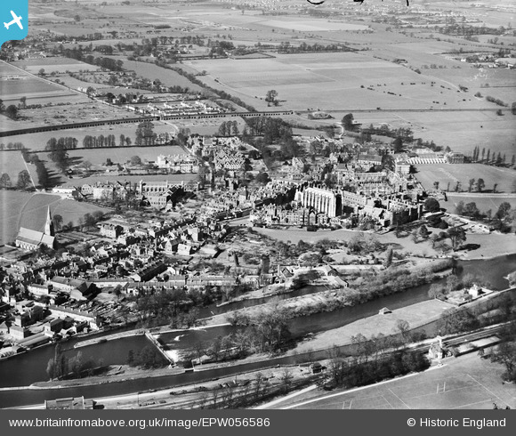
EPW056586 ENGLAND (1938). Eton College and the town, Eton, 1938
© Copyright OpenStreetMap contributors and licensed by the OpenStreetMap Foundation. 2026. Cartography is licensed as CC BY-SA.
Nearby Images (38)
EPW056586

EAW006348

EAW006343

EAW006353

EPW022612

EAW006339

EAW006341

EPW031204

EAW006338

EAW006355

EAW006337

EAW006349

EAW006328

EPW022613

EAW006352

EPW000037

EAW006350

EAW006330

EAW006347

EAW026472

EPW000038

EAW026471

EPW022611

EAW006335

EAW006329

EAW006336

EAW006332

EAW006333

EPW006211

EAW006331

EAW006351

EAW006354

EAW006334

EAW006345

EAW006346

EAW006344

EAW052779

EAW003710

Details
| Title | [EPW056586] Eton College and the town, Eton, 1938 |
| Reference | EPW056586 |
| Date | March-1938 |
| Link | |
| Place name | ETON |
| Parish | ETON |
| District | |
| Country | ENGLAND |
| Easting / Northing | 496637, 177824 |
| Longitude / Latitude | -0.60791336667919, 51.490609727726 |
| National Grid Reference | SU966778 |
Pins

John W |
Tuesday 4th of October 2016 07:27:04 PM | |

Class31 |
Tuesday 8th of September 2015 04:53:08 PM | |

Alan McFaden |
Tuesday 9th of July 2013 06:42:30 PM |


User Comment Contributions
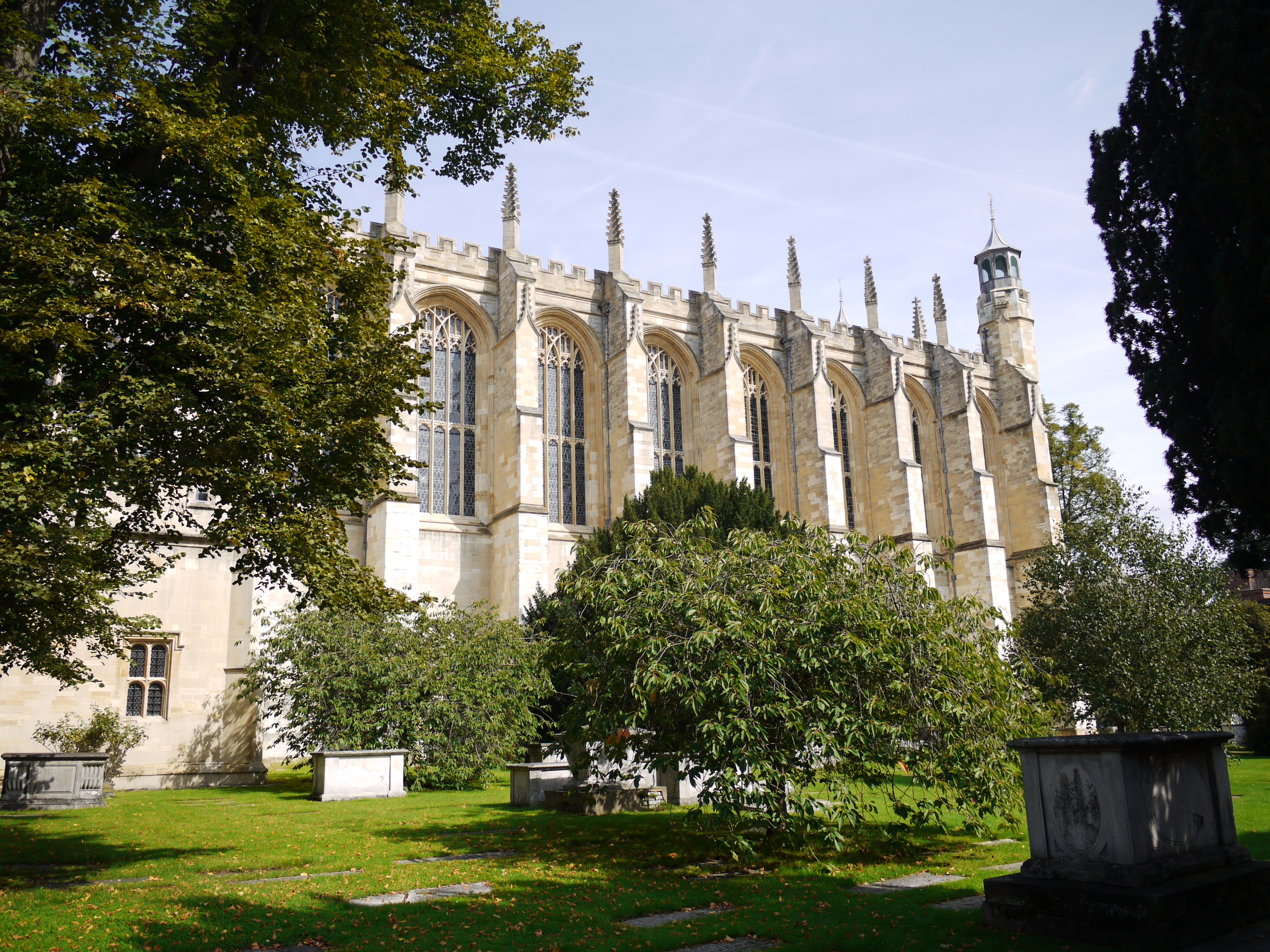
Eton College Chapel, 07/09/2015 |
Class31 |
Tuesday 8th of September 2015 04:24:41 PM |