
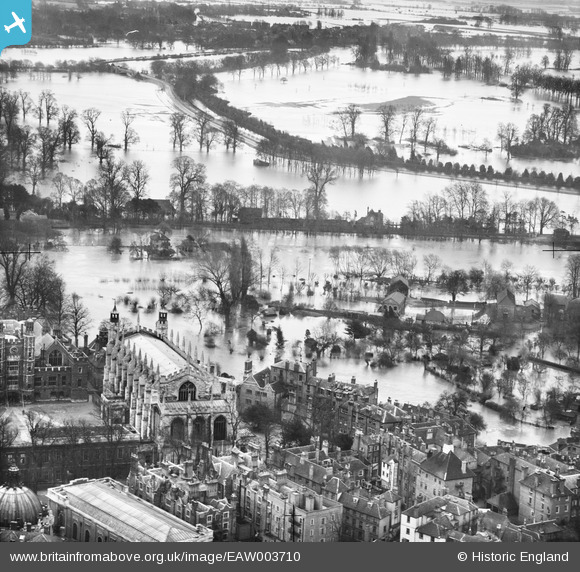
EAW003710 ENGLAND (1947). St Mary's Chapel and the surrounding flooded area, Eton, 1947
© Copyright OpenStreetMap contributors and licensed by the OpenStreetMap Foundation. 2026. Cartography is licensed as CC BY-SA.
Nearby Images (30)
EAW003710

EAW026472

EPW006296

EAW006342

EPW000037

EAW006327

EAW006339

EAW006347

EAW006350

EAW006328

EAW006337

EAW006341

EAW006336

EAW006338

EAW006332

EAW006348

EAW052779

EAW006329

EAW006335

EPW056586

EAW006330

EAW006333

EPW006211

EPW022612

EAW006331

EPW022613

EAW006352

EPW022611

EAW006349

EAW006351

Details
| Title | [EAW003710] St Mary's Chapel and the surrounding flooded area, Eton, 1947 |
| Reference | EAW003710 |
| Date | 18-March-1947 |
| Link | |
| Place name | ETON |
| Parish | ETON |
| District | |
| Country | ENGLAND |
| Easting / Northing | 496880, 177736 |
| Longitude / Latitude | -0.60443814821178, 51.489777027595 |
| National Grid Reference | SU969777 |
Pins

Class31 |
Friday 13th of September 2013 09:05:26 PM |
User Comment Contributions
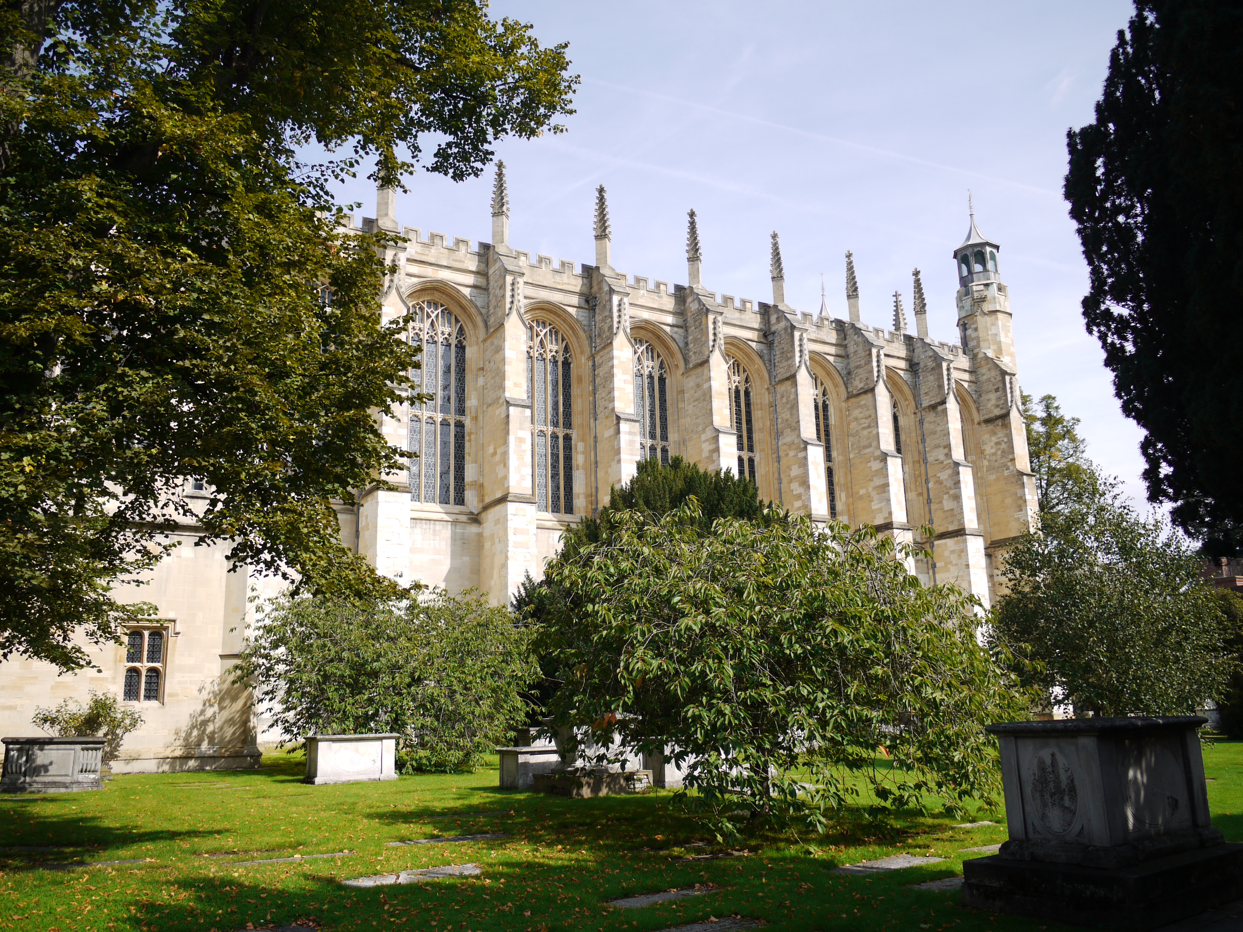
Eton College Chapel, 07/09/2015 |
Class31 |
Tuesday 8th of September 2015 04:22:33 PM |