
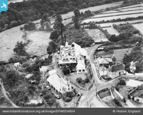
EPW054804 ENGLAND (1937). Torrington Creamery, Great Torrington, 1937. This image has been produced from a copy-negative.
© Copyright OpenStreetMap contributors and licensed by the OpenStreetMap Foundation. 2026. Cartography is licensed as CC BY-SA.
Nearby Images (7)
EPW054804

EPW054807

EPW054808

EPW054809

EPW054805

EPW054806

EPW059617

Details
| Title | [EPW054804] Torrington Creamery, Great Torrington, 1937. This image has been produced from a copy-negative. |
| Reference | EPW054804 |
| Date | August-1937 |
| Link | |
| Place name | GREAT TORRINGTON |
| Parish | GREAT TORRINGTON |
| District | |
| Country | ENGLAND |
| Easting / Northing | 248698, 118807 |
| Longitude / Latitude | -4.1541494424837, 50.948267802406 |
| National Grid Reference | SS487188 |
