
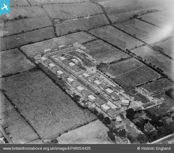
EPW054435 ENGLAND (1937). Laburnum Road, Lowton St Mary's, 1937
© Copyright OpenStreetMap contributors and licensed by the OpenStreetMap Foundation. 2026. Cartography is licensed as CC BY-SA.
Nearby Images (5)
EPW054435

EPW054432

EPW054434

EPW054431

EPW054433

Details
| Title | [EPW054435] Laburnum Road, Lowton St Mary's, 1937 |
| Reference | EPW054435 |
| Date | 30-July-1937 |
| Link | |
| Place name | LOWTON ST MARY'S |
| Parish | |
| District | |
| Country | ENGLAND |
| Easting / Northing | 362657, 397478 |
| Longitude / Latitude | -2.5626590750009, 53.472455946857 |
| National Grid Reference | SJ627975 |
Pins

bomber |
Saturday 5th of October 2013 02:44:30 PM | |

Class31 |
Tuesday 18th of June 2013 10:52:00 AM | |
Another one bites the dust...We'll update the catalogue and post the new record here in due course. Yours, Katy Britain from Above Cataloguing Team Leader |
Katy Whitaker |
Tuesday 2nd of July 2013 05:00:57 PM |