
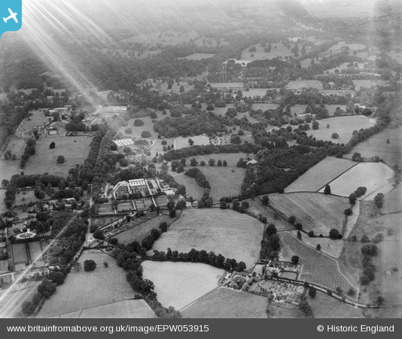
EPW053915 ENGLAND (1937). Dell Park and surrounding countryside, Englefield Green, 1937. This image has been affected by flare.
© Copyright OpenStreetMap contributors and licensed by the OpenStreetMap Foundation. 2025. Cartography is licensed as CC BY-SA.
Nearby Images (11)
EPW053915

EPW053908

EPW053909

EPW053907

EPW053911

EPW053918

EPW053919

EPW053920

EPW053914

EPW053910
, Dell Park and surrounding countryside, Englefield Green, 1937")
EPW053913

Details
| Title | [EPW053915] Dell Park and surrounding countryside, Englefield Green, 1937. This image has been affected by flare. |
| Reference | EPW053915 |
| Date | June-1937 |
| Link | |
| Place name | ENGLEFIELD GREEN |
| Parish | |
| District | |
| Country | ENGLAND |
| Easting / Northing | 498251, 171616 |
| Longitude / Latitude | -0.58639635517507, 51.434522696963 |
| National Grid Reference | SU983716 |
Pins
Be the first to add a comment to this image!